Transport Functions
Rail
Road
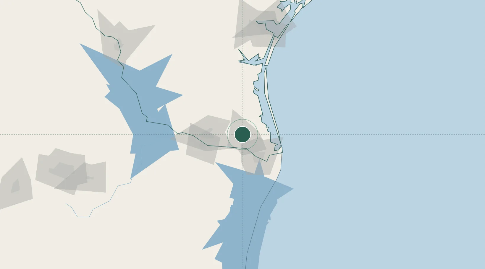
Hub Profile
Place type
Populated place
Region
Texas
Population
3,059
Time zone
America/Chicago
Elevation
12 m
Location
Nearby Logistics Neighbours
Cities
- 1Lyford20 km
- 2Los Indios21 km
- 3Olmito30 km
- 4Los Fresnos31 km
- 5Brownsville43 km
Ports
- 1Brownsville45 km
- 2Port Isabel54 km
- 3Corpus Christi179 km
- 4Port Ingleside184 km
- 5Port Aransas190 km
Airports
Trade Zones
- 1FTZ No. 156 Weslaco32 km
- 2FTZ No. 157 Casper32 km
- 3FTZ No. 062 Brownsville44 km
- 4FTZ No. 012 McAllen56 km
- 5FTZ No. 095 Starr County111 km
DatabookThe Record of Consolidated Knowledge
United States beyond logistics?