Transport Functions
Rail
Road
Hub Profile
Place type
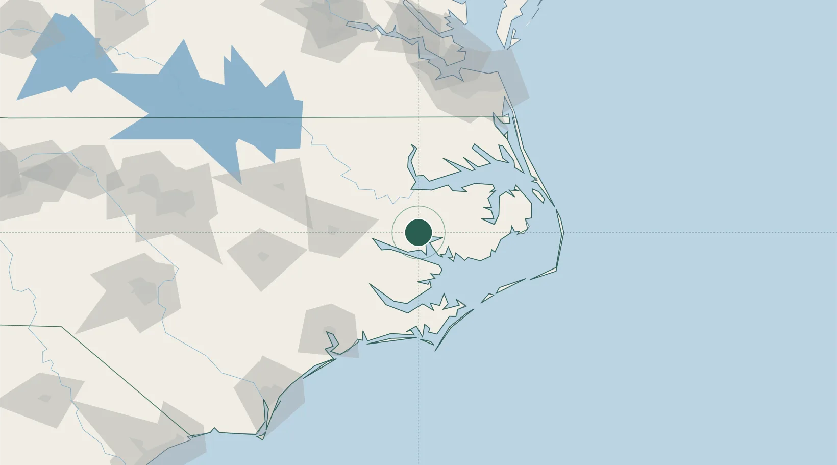
Populated place
Region
North Carolina
Population
177
Time zone
America/New_York
Elevation
1 m
Location
Nearby Logistics Neighbours
Cities
- 1Belhaven7 km
- 2Bath18 km
- 3Roper32 km
- 4Fairfield41 km
- 5Merry Hill49 km
Ports
- 1Belhaven6 km
- 2Plymouth32 km
- 3Washington35 km
- 4Edenton52 km
- 5Columbia53 km
Airports
Trade Zones
- 1FTZ No. 214 Lenoir County118 km
- 2FTZ No. 020 Suffolk149 km
- 3FTZ No. 093 Raleigh Durham205 km
- 4FTZ No. 207 Richmond230 km
- 5FTZ No. 230 Piedmont Triad Area321 km
DatabookThe Record of Consolidated Knowledge
United States beyond logistics?