UN/LOCODE hub · United States
USBPV
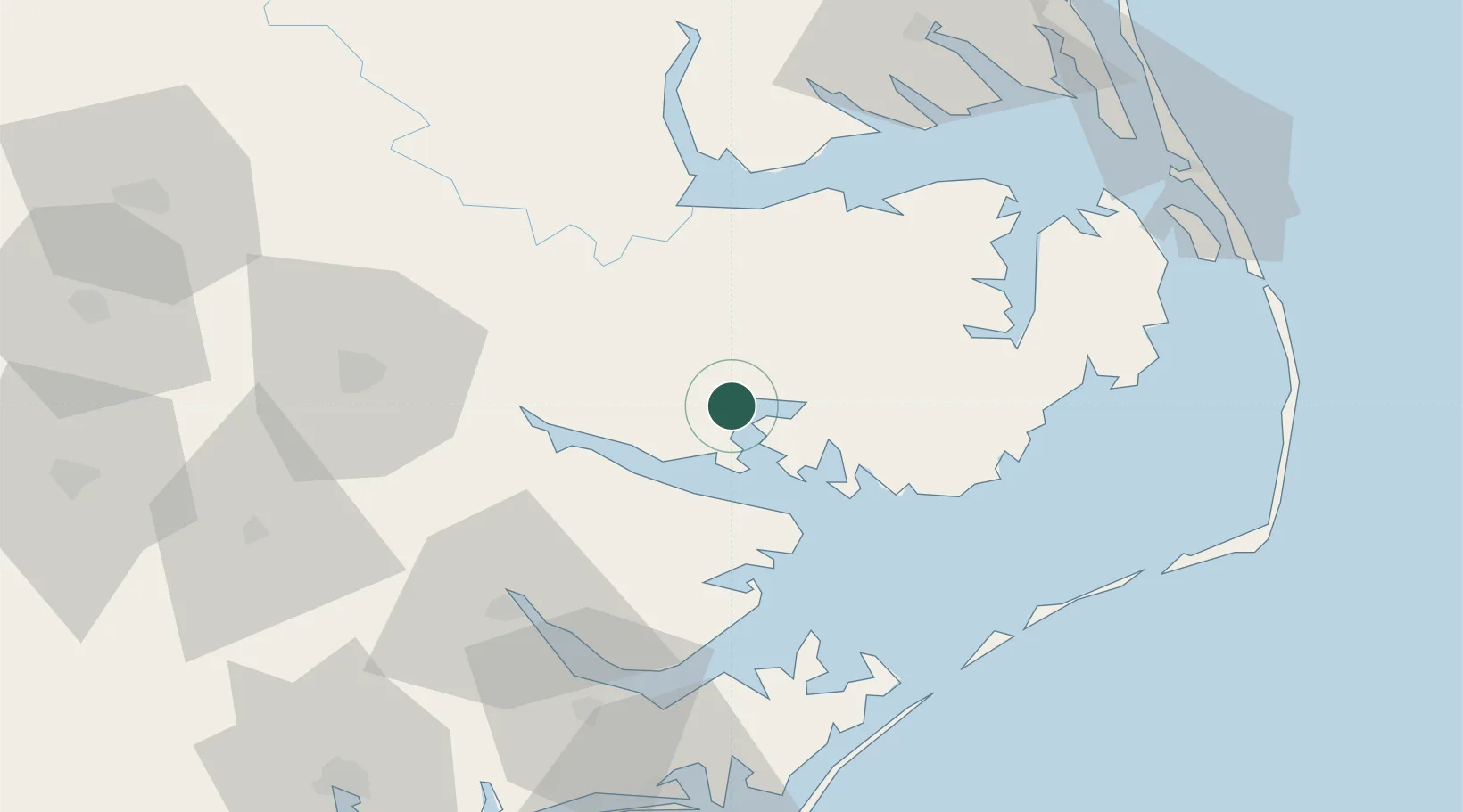
Belhaven
35.5333°, -76.6167°
1,602
Population
2
Transport functions
Transport Functions
Port
Road
Hub Profile
Place type
Populated place
Region
North Carolina
Population
1,602
Time zone
America/New_York
Elevation
0 m
Location
Nearby Logistics Neighbours
Cities
- 1Pantego7 km
- 2Bath18 km
- 3Fairfield36 km
- 4Roper37 km
- 5Merry Hill55 km
Ports
- 1Plymouth39 km
- 2Washington39 km
- 3Columbia54 km
- 4Edenton58 km
- 5New Bern62 km
Airports
Trade Zones
- 1FTZ No. 214 Lenoir County121 km
- 2FTZ No. 020 Suffolk154 km
- 3FTZ No. 093 Raleigh Durham211 km
- 4FTZ No. 207 Richmond237 km
- 5FTZ No. 230 Piedmont Triad Area327 km
DatabookThe Record of Consolidated Knowledge
United States beyond logistics?