Transport Functions
Port
Multimodal
Hub Profile
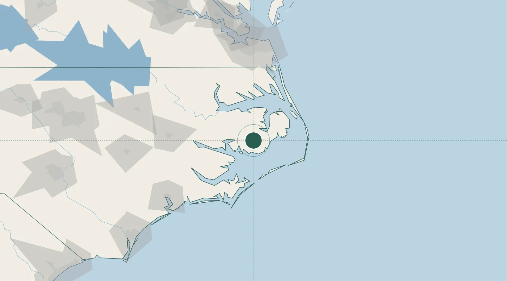
Place type
Populated place
Region
North Carolina
Population
258
Time zone
America/New_York
Elevation
1 m
Location
Nearby Logistics Neighbours
Cities
- 1Belhaven36 km
- 2Pantego41 km
- 3Roper51 km
- 4Bath53 km
- 5Merry Hill73 km
Ports
- 1Belhaven37 km
- 2Columbia43 km
- 3Plymouth61 km
- 4Edenton68 km
- 5Washington75 km
Airports
Trade Zones
- 1FTZ No. 214 Lenoir County156 km
- 2FTZ No. 020 Suffolk157 km
- 3FTZ No. 093 Raleigh Durham246 km
- 4FTZ No. 207 Richmond252 km
- 5FTZ No. 230 Piedmont Triad Area362 km
DatabookThe Record of Consolidated Knowledge
United States beyond logistics?