UN/LOCODE hub · United States
USAFH

Bath

35.4667°, -76.8000°
250
Population
3
Transport functions

Transport Functions

Port
Road
Multimodal
UN/LOCODE

Hub Profile

Place type
Populated place
GeoNames
Region
North Carolina
GeoNames
Population
250
GeoNames
Time zone
America/New_York
GeoNames
Elevation
4 m
GeoNames

Location

Location of USAFH
Natural Earth 10m (public domain) · North Carolina · USAFH · 35.47, -76.80GoogleOSMYandex

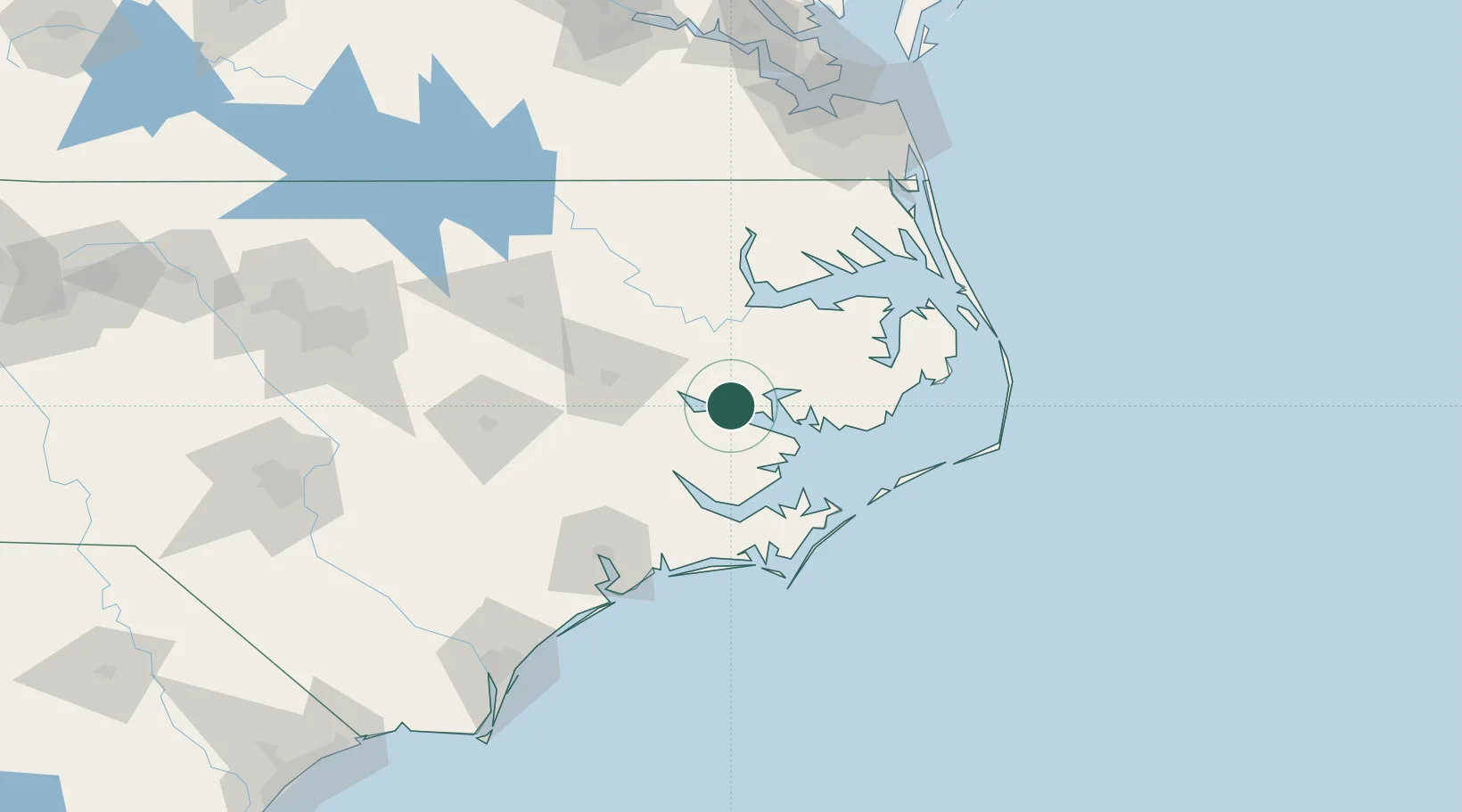
Nearby Logistics Neighbours

Cities
  1. 1Pantego18 km
  2. 2Belhaven18 km
  3. 3Roper48 km
  4. 4Everetts53 km
  5. 5Fairfield53 km
Nearest neighbours — logibook spatial index (haversine) over the source coordinates
Ports
  1. 1Belhaven24 km
  2. 2Washington25 km
  3. 3Plymouth45 km
  4. 4New Bern47 km
  5. 5Edenton67 km
Nearest neighbours — logibook spatial index (haversine) over the source coordinates
Airports
  1. 1Coastal Carolina Regional Airport49 km
  2. 2Pitt-Greenville Airport56 km
  3. 3Cherry Point MCAS / Cunningham Field/63 km
  4. 4Kinston Regional Jetport At Stallings Field75 km
  5. 5Albert J Ellis Airport102 km
Nearest neighbours — logibook spatial index (haversine) over the source coordinates
Trade Zones
  1. 1FTZ No. 214 Lenoir County103 km
  2. 2FTZ No. 020 Suffolk163 km
  3. 3FTZ No. 093 Raleigh Durham196 km
  4. 4FTZ No. 207 Richmond239 km
  5. 5FTZ No. 230 Piedmont Triad Area313 km
Nearest neighbours — logibook spatial index (haversine) over the source coordinates
DatabookThe Record of Consolidated Knowledge
United States beyond logistics?
Browse databook

All Sources

LocationsUN/LOCODE
UN/LOCODE — free
LocationsGeoNames
CC BY 4.0
Portsthe NGA World Port Index
Public domain (US gov)
AirportsOurAirports
Public domain
Trade Zonesthe World Bank SEZ database
CC BY 4.0
Trade ZonesOpen Zone Map
CC BY
← United States locations