UN/LOCODE hub · United States
USBN5
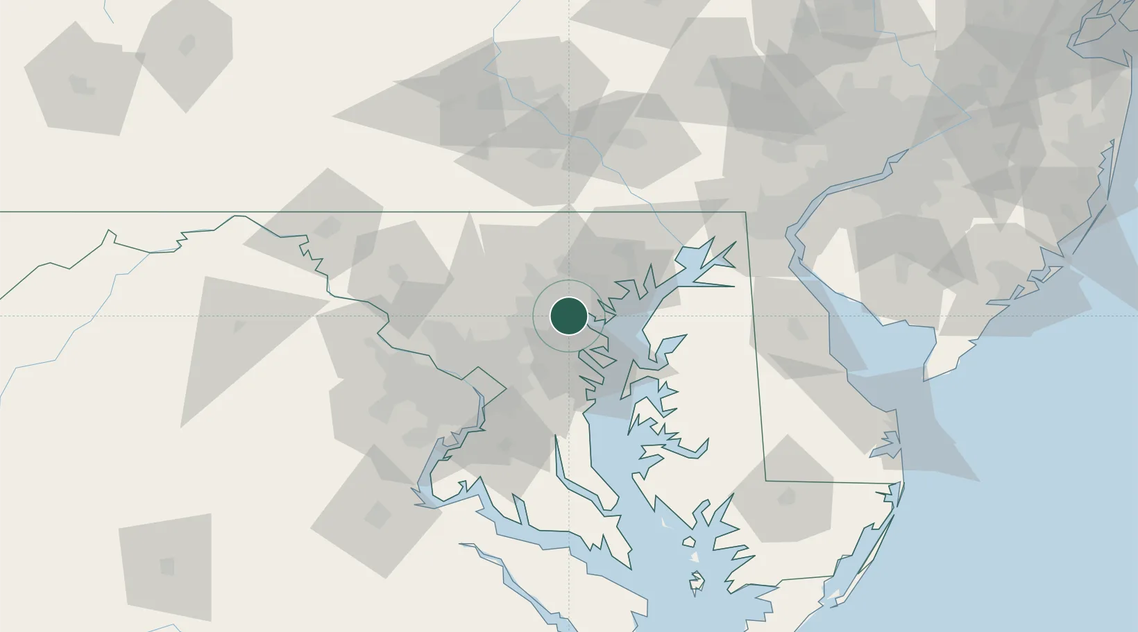
Brooklyn
39.2333°, -76.6167°
9,549
Population
2
Transport functions
Transport Functions
Road
Multimodal
Hub Profile
Place type
Populated place
Region
Maryland
Population
9,549
Time zone
America/New_York
Elevation
19 m
Location
Nearby Logistics Neighbours
Cities
- 1Lansdowne-Baltimore3 km
- 2Curtis Bay, Baltimore3 km
- 3Baltimore7 km
- 4Arbutus7 km
- 5Arlington/Baltimore13 km
Ports
- 1Baltimore5 km
- 2Annapolis30 km
- 3Washington D.C.54 km
- 4Havre De Grace57 km
- 5Alexandria60 km
Airports
Trade Zones
DatabookThe Record of Consolidated Knowledge
United States beyond logistics?