UN/LOCODE hub · United States
USLB9

Lansdowne-Baltimore

39.2333°, -76.6500°
2
Transport functions

Transport Functions

Port
Multimodal
UN/LOCODE

Hub Profile

Region
MD
GeoNames

Location

Location of USLB9
Natural Earth 10m (public domain) · MD · USLB9 · 39.23, -76.65GoogleOSMYandex

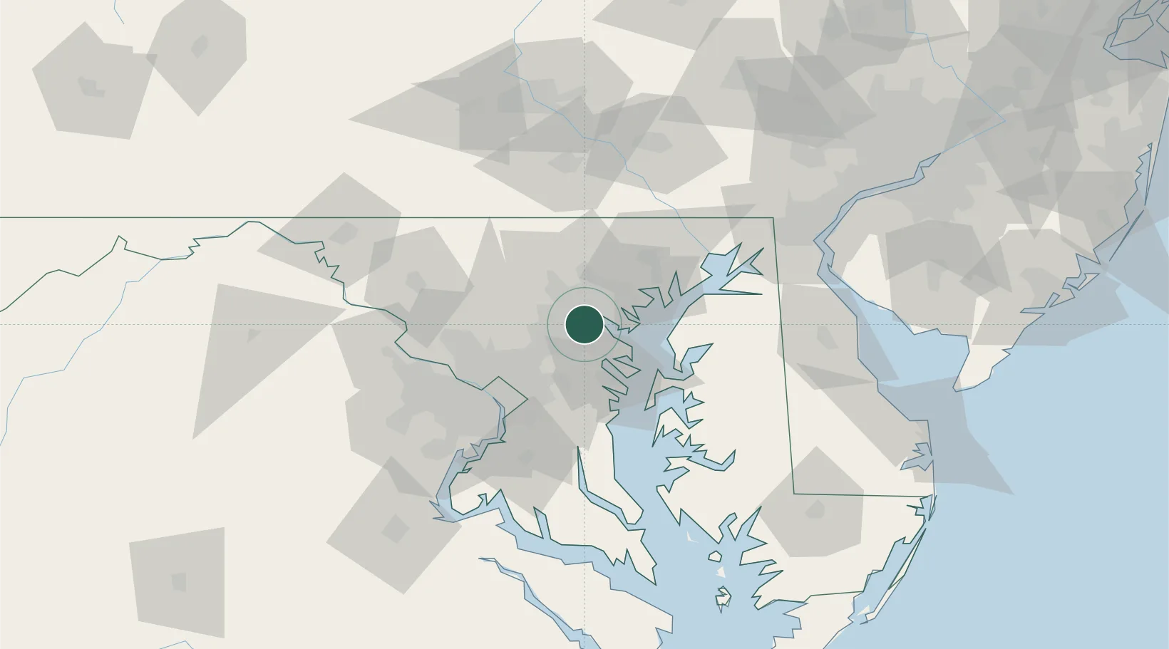
Nearby Logistics Neighbours

Cities
  1. 1Brooklyn3 km
  2. 2Arbutus5 km
  3. 3Curtis Bay, Baltimore6 km
  4. 4Baltimore10 km
  5. 5Arlington/Baltimore12 km
Nearest neighbours — logibook spatial index (haversine) over the source coordinates
Ports
  1. 1Baltimore7 km
  2. 2Annapolis31 km
  3. 3Washington D.C.53 km
  4. 4Alexandria59 km
  5. 5Havre De Grace59 km
Nearest neighbours — logibook spatial index (haversine) over the source coordinates
Airports
  1. 1Baltimore/Washington International Thurgood Marshall Airport7 km
  2. 2Fort Meade Executive Airport19 km
  3. 3Martin State Airport23 km
  4. 4Phillips Army Air Field49 km
  5. 5Joint Base Andrews51 km
Nearest neighbours — logibook spatial index (haversine) over the source coordinates
Trade Zones
  1. 1FTZ No. 074 Baltimore6 km
  2. 2FTZ No. 073 BWI Airport6 km
  3. 3FTZ No. 063 PrInce Georges County63 km
  4. 4FTZ No. 137 Washington Dulles International Airport76 km
  5. 5FTZ No. 099 Wilmington110 km
Nearest neighbours — logibook spatial index (haversine) over the source coordinates
DatabookThe Record of Consolidated Knowledge
United States beyond logistics?
Browse databook

All Sources

LocationsUN/LOCODE
UN/LOCODE — free
Portsthe NGA World Port Index
Public domain (US gov)
AirportsOurAirports
Public domain
Trade Zonesthe World Bank SEZ database
CC BY 4.0
Trade ZonesOpen Zone Map
CC BY
← United States locations