Channel & Berth Profile
Pilotage, Tugs & Services
Pilotage advisableYES
Shore powerNO
Potable waterYES
Diesel bunkersYES
MedicalYES
Garbage disposalYES
Facilities & Capabilities
Container—
Ro-Ro—
Liquid bulk—
Dry bulk—
Oil terminal—
Break bulk—
Dry dock—
Repairs—
BunkeringYES
Rail link—
Dangerous cargo—
ISPS security—
Harbour Specifications
Harbour size
Small
Harbour type
Coastal (Breakwater)
Shelter
Fair
Water body
Bering Sea; North Pacific Ocean
Tidal range
1.2 m
Overhead limit
No
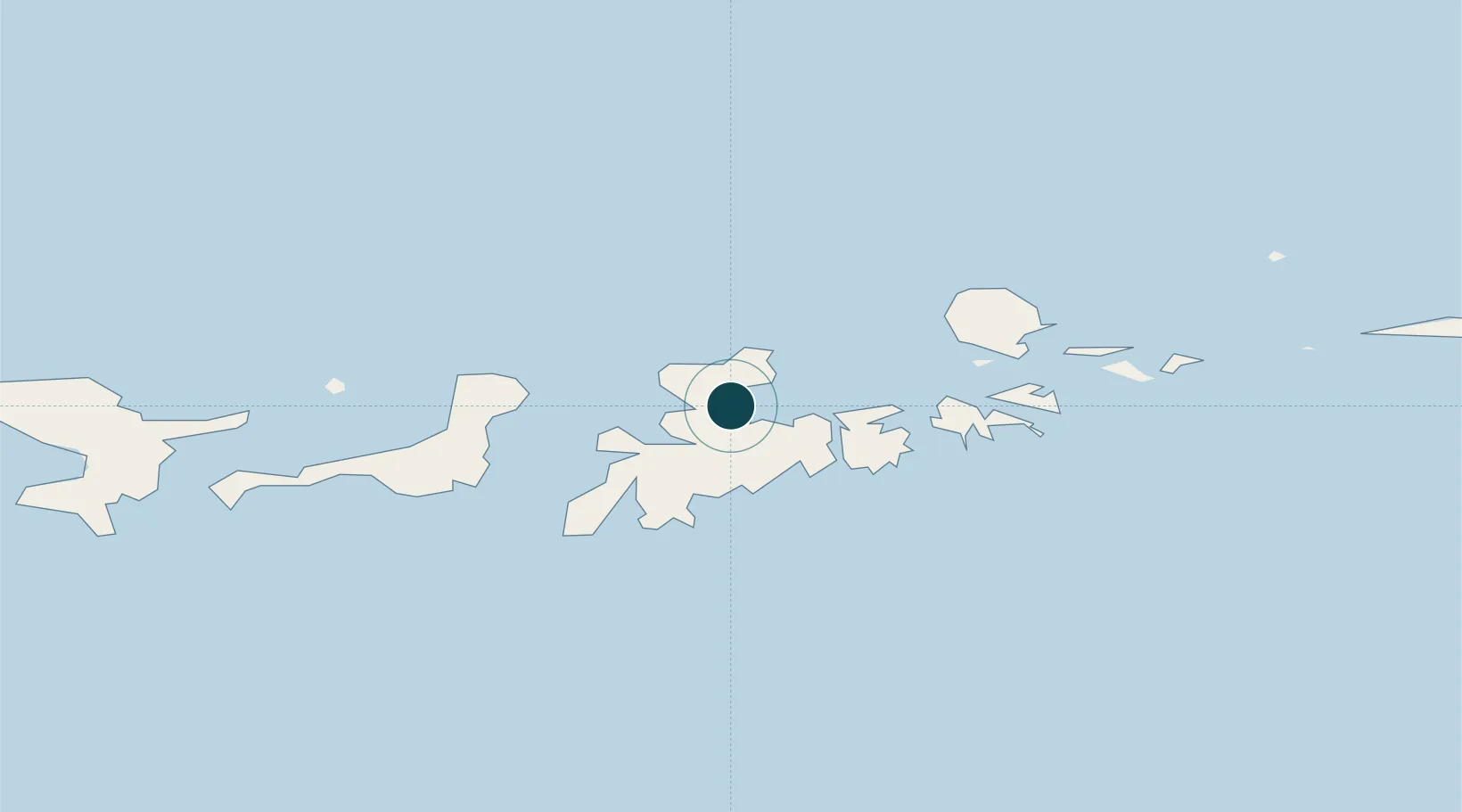
Location
Nearby Logistics Neighbours
Ports
- 1Unalaska713 km
- 2Dutch Harbor714 km
- 3Akutan Harbor767 km
- 4Cold Bay991 km
- 5King Cove1010 km
Cities
- 1Kuluk Bay5 km
- 2Yoke Bay44 km
- 3Tanaga Bay97 km
- 4Mitchem137 km
- 5Burnopfield395 km
Airports
- 1Adak Airport2 km
- 2Atka Airport171 km
- 3Nikolski Air Station541 km
- 4St George Airport692 km
- 5Tom Madsen (Dutch Harbor) Airport713 km
Trade Zones
- 1FTZ No. 232 Kodiak1593 km
- 2FTZ No. 160 Anchorage1922 km
- 3FTZ No. 108 Valdez2097 km
- 4FTZ No. 195 Fairbanks2186 km
- 5PrInce George Logistics Park3534 km
DatabookThe Record of Consolidated Knowledge
United States beyond logistics?