UN/LOCODE hub · United States
USKUB

Kuluk Bay

51.8667°, -176.5667°
1
Transport functions

Transport Functions

Port
UN/LOCODE

Hub Profile

Region
AK
GeoNames

Location

Location of USKUB
Natural Earth 10m (public domain) · AK · USKUB · 51.87, -176.57GoogleOSMYandex

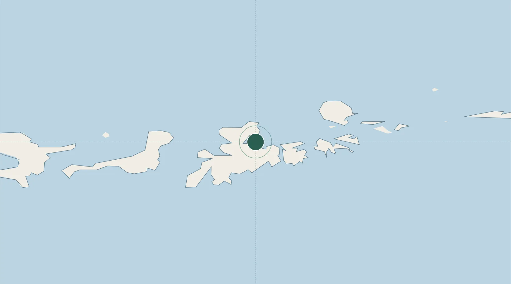
Nearby Logistics Neighbours

Cities
  1. 1Yoke Bay40 km
  2. 2Tanaga Bay102 km
  3. 3Mitchem132 km
  4. 4Burnopfield391 km
  5. 5Castle Island589 km
Nearest neighbours — logibook spatial index (haversine) over the source coordinates
Ports
  1. 1Adak Naval Air Station5 km
  2. 2Unalaska709 km
  3. 3Dutch Harbor710 km
  4. 4Akutan Harbor762 km
  5. 5Cold Bay986 km
Nearest neighbours — logibook spatial index (haversine) over the source coordinates
Airports
  1. 1Adak Airport6 km
  2. 2Atka Airport166 km
  3. 3Nikolski Air Station537 km
  4. 4St George Airport689 km
  5. 5Tom Madsen (Dutch Harbor) Airport709 km
Nearest neighbours — logibook spatial index (haversine) over the source coordinates
Trade Zones
  1. 1FTZ No. 232 Kodiak1589 km
  2. 2FTZ No. 160 Anchorage1918 km
  3. 3FTZ No. 108 Valdez2094 km
  4. 4FTZ No. 195 Fairbanks2183 km
  5. 5PrInce George Logistics Park3530 km
Nearest neighbours — logibook spatial index (haversine) over the source coordinates
DatabookThe Record of Consolidated Knowledge
United States beyond logistics?
Browse databook

All Sources

LocationsUN/LOCODE
UN/LOCODE — free
Portsthe NGA World Port Index
Public domain (US gov)
AirportsOurAirports
Public domain
Trade Zonesthe World Bank SEZ database
CC BY 4.0
Trade ZonesOpen Zone Map
CC BY
← United States locations