UN/LOCODE hub · United States
USTBJ

Tanaga Bay

51.7333°, -178.0333°
1
Transport functions

Transport Functions

Port
UN/LOCODE

Hub Profile

Region
AK
GeoNames

Location

Location of USTBJ
Natural Earth 10m (public domain) · AK · USTBJ · 51.73, -178.03GoogleOSMYandex

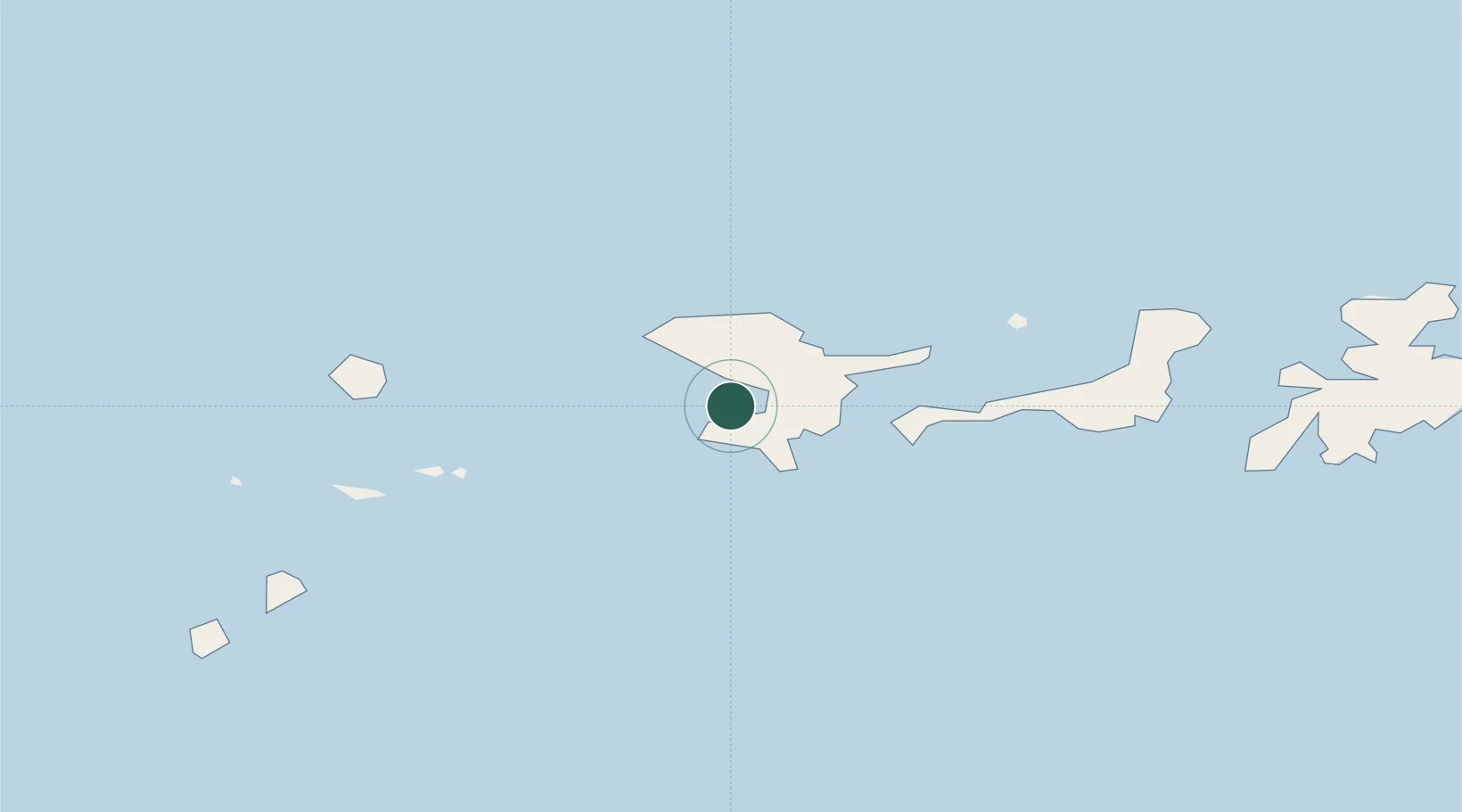
Nearby Logistics Neighbours

Cities
  1. 1Kuluk Bay102 km
  2. 2Yoke Bay141 km
  3. 3Mitchem232 km
  4. 4Burnopfield479 km
  5. 5Castle Island595 km
Nearest neighbours — logibook spatial index (haversine) over the source coordinates
Ports
  1. 1Adak Naval Air Station97 km
  2. 2Unalaska808 km
  3. 3Dutch Harbor809 km
  4. 4Akutan Harbor861 km
  5. 5Cold Bay1083 km
Nearest neighbours — logibook spatial index (haversine) over the source coordinates
Airports
  1. 1Adak Airport97 km
  2. 2Atka Airport268 km
  3. 3Nikolski Air Station638 km
  4. 4St George Airport765 km
  5. 5St Paul Island Airport786 km
Nearest neighbours — logibook spatial index (haversine) over the source coordinates
Trade Zones
  1. 1FTZ No. 232 Kodiak1682 km
  2. 2FTZ No. 160 Anchorage2002 km
  3. 3FTZ No. 108 Valdez2180 km
  4. 4FTZ No. 195 Fairbanks2257 km
  5. 5PrInce George Logistics Park3627 km
Nearest neighbours — logibook spatial index (haversine) over the source coordinates
DatabookThe Record of Consolidated Knowledge
United States beyond logistics?
Browse databook

All Sources

LocationsUN/LOCODE
UN/LOCODE — free
Portsthe NGA World Port Index
Public domain (US gov)
AirportsOurAirports
Public domain
Trade Zonesthe World Bank SEZ database
CC BY 4.0
Trade ZonesOpen Zone Map
CC BY
← United States locations