Small airport · United States
Atka AirportPAAK
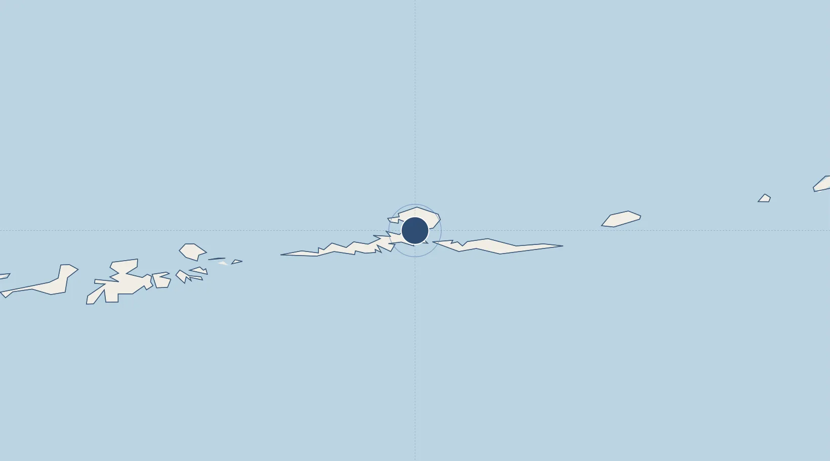
52.2203°, -174.2060°
4,500 ft
Longest runway
1
Runways
57 ft
Elevation
Runway & Layout

Runways · 1
| Runway | Dimensions | Surface | True heading | Lit |
|---|---|---|---|---|
| 16/34 | 4,500 × 100ft | ASPH-E | 165° | ✓ |
Airport Specifications
IATA code
AKB
ICAO code
PAAK
Airport class
Small airport
Scheduled service
Yes
Runway surface
ASPH-E
Served city
Atka
Location
Nearby Logistics Neighbours
Airports
- 1Adak Airport171 km
- 2Nikolski Air Station371 km
- 3Tom Madsen (Dutch Harbor) Airport545 km
- 4St George Airport566 km
- 5Akutan Seaplane Base Heliport600 km
Cities
- 1Mitchem68 km
- 2Yoke Bay127 km
- 3Kuluk Bay166 km
- 4Burnopfield256 km
- 5Tanaga Bay268 km
Ports
- 1Adak Naval Air Station171 km
- 2Unalaska544 km
- 3Dutch Harbor545 km
- 4Akutan Harbor599 km
- 5Cold Bay825 km
Trade Zones
- 1FTZ No. 232 Kodiak1431 km
- 2FTZ No. 160 Anchorage1774 km
- 3FTZ No. 108 Valdez1947 km
- 4FTZ No. 195 Fairbanks2054 km
- 5PrInce George Logistics Park3367 km
DatabookThe Record of Consolidated Knowledge
United States beyond logistics?