Transport Functions
Rail
Road
Multimodal
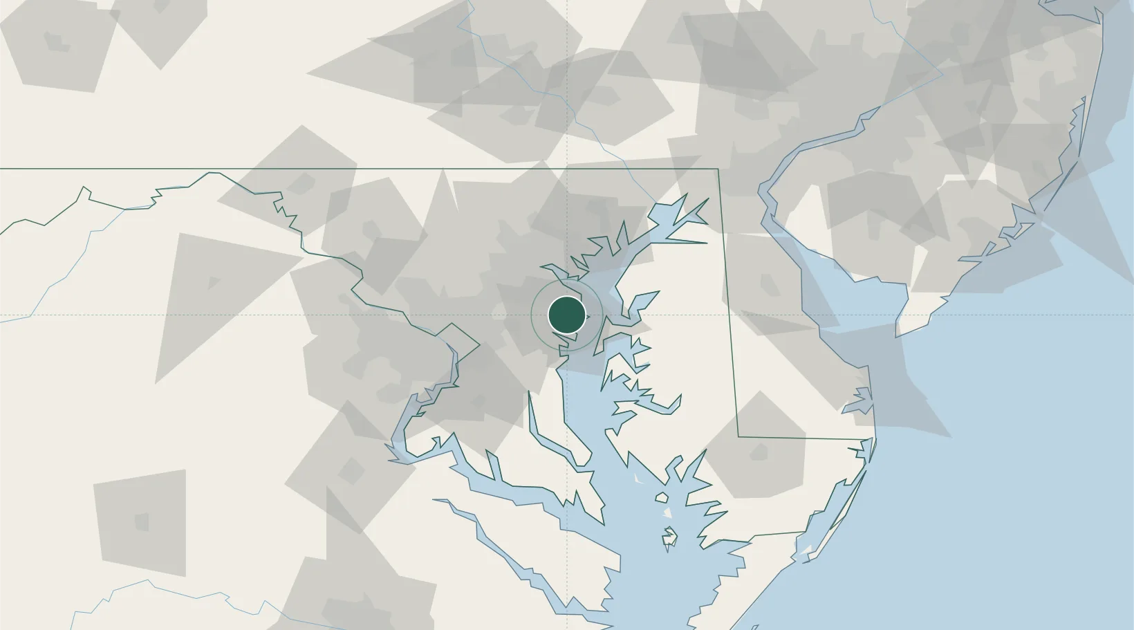
Hub Profile
Place type
Populated place
Region
Maryland
Population
23,106
Time zone
America/New_York
Elevation
39 m
Location
Nearby Logistics Neighbours
Cities
- 1Pasadena9 km
- 2Curtis Bay, Baltimore22 km
- 3Fort George G Meade22 km
- 4Edgemere23 km
- 5Harwood23 km
Ports
- 1Annapolis6 km
- 2Baltimore27 km
- 3Washington D.C.50 km
- 4Alexandria53 km
- 5Havre De Grace66 km
Airports
Trade Zones
DatabookThe Record of Consolidated Knowledge
United States beyond logistics?