UN/LOCODE hub · United States
USYPC
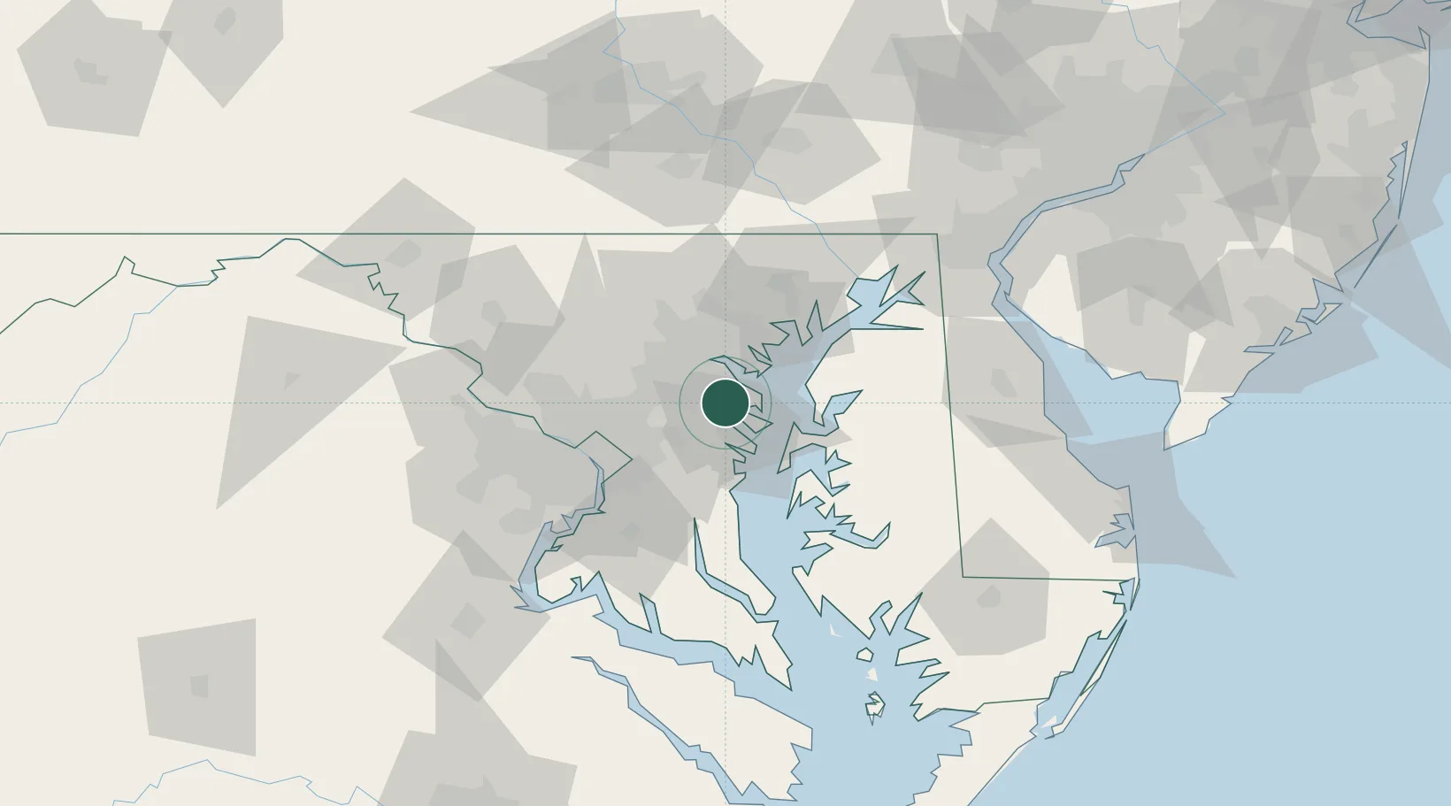
Pasadena
39.1000°, -76.5667°
24,287
Population
3
Transport functions
Transport Functions
Rail
Road
Multimodal
Hub Profile
Place type
Populated place
Region
Maryland
Population
24,287
Time zone
America/New_York
Elevation
25 m
Location
Nearby Logistics Neighbours
Cities
- 1Arnold9 km
- 2Curtis Bay, Baltimore13 km
- 3Fort George G Meade15 km
- 4Brooklyn15 km
- 5Lansdowne-Baltimore17 km
Ports
- 1Annapolis15 km
- 2Baltimore19 km
- 3Washington D.C.48 km
- 4Alexandria52 km
- 5Havre De Grace64 km
Airports
Trade Zones
DatabookThe Record of Consolidated Knowledge
United States beyond logistics?