Transport Functions
Rail
Road
Hub Profile
Place type
Populated place
Region
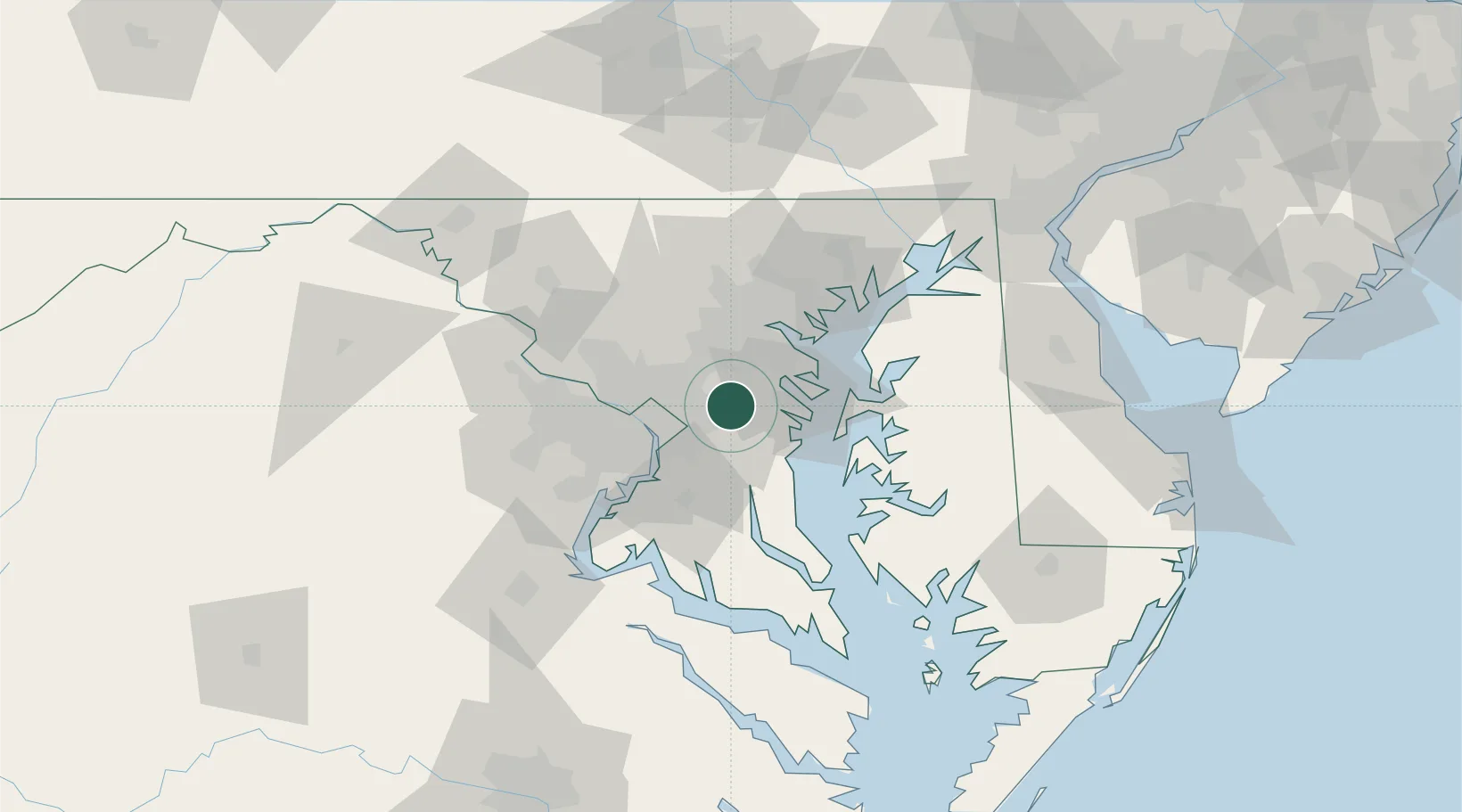
Maryland
Population
58,025
Time zone
America/New_York
Elevation
42 m
Location
Nearby Logistics Neighbours
Cities
- 1Glenndale4 km
- 2Mitchellville6 km
- 3Largo10 km
- 4Maryland City14 km
- 5Fort George G Meade17 km
Ports
- 1Annapolis23 km
- 2Washington D.C.27 km
- 3Alexandria31 km
- 4Baltimore36 km
- 5Solomons Island77 km
Airports
Trade Zones
DatabookThe Record of Consolidated Knowledge
United States beyond logistics?