Medium airport · United States

Southwest Washington Regional AirportKKLS

46.1180°, -122.8980°
4,391 ft
Longest runway
1
Runways
20 ft
Elevation

Runway & Layout

Southwest Washington Regional Airport runway & taxiway layout
Runway & taxiway layout — OpenStreetMap (ODbL) / OurAirports

Radio Frequencies

AWOS
135.075 MHz
AWOS 3
CNTR
124.2 MHz
SEATTLE CNTR
FSS
122.25 MHz
SEATTLE RDO
UNIC
122.8 MHz
CTAF/UNICOM
OurAirports

Runways · 1

RunwayDimensions SurfaceTrue headingLit
12/30 4,391 × 100ft Asphalt 140°
OurAirports

Airport Specifications

IATA code
KLS
OurAirports
ICAO code
KKLS
OurAirports
Airport class
Medium airport
OurAirports
Scheduled service
No
OurAirports
Runway surface
Asphalt
OurAirports
Served city
Kelso
OurAirports

Location

Location of KKLS
Natural Earth 10m (public domain) · Washington · KKLS · 46.12, -122.90GoogleOSMYandex

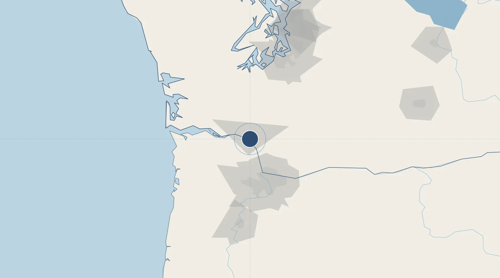
Nearby Logistics Neighbours

Airports
  1. 1Portland International Airport63 km
  2. 2Portland Hillsboro Airport64 km
  3. 3Portland Troutdale Airport74 km
  4. 4Astoria Regional Airport76 km
  5. 5Olympia Regional Airport95 km
Nearest neighbours — logibook spatial index (haversine) over the source coordinates
Cities
  1. 1Longview2 km
  2. 2Prescott10 km
  3. 3Clatskanie23 km
  4. 4Creswell24 km
  5. 5Warren34 km
Nearest neighbours — logibook spatial index (haversine) over the source coordinates
Ports
  1. 1Longview3 km
  2. 2Rainier5 km
  3. 3Kalama12 km
  4. 4St Helens29 km
  5. 5Vancouver56 km
Nearest neighbours — logibook spatial index (haversine) over the source coordinates
Trade Zones
  1. 1FTZ No. 120 Cowlitz County9 km
  2. 2FTZ No. 296 Vancouver56 km
  3. 3FTZ No. 045 Portland65 km
  4. 4FTZ No. 255 Washington County74 km
  5. 5FTZ No. 216 Olympia103 km
Nearest neighbours — logibook spatial index (haversine) over the source coordinates
DatabookThe Record of Consolidated Knowledge
United States beyond logistics?
Browse databook

All Sources

AirportsOurAirports
Public domain
Portsthe NGA World Port Index
Public domain (US gov)
LocationsUN/LOCODE
UN/LOCODE — free
Trade Zonesthe World Bank SEZ database
CC BY 4.0
Trade ZonesOpen Zone Map
CC BY
InfrastructureOpenStreetMap
ODbL 1.0
← United States airports