Transport Functions
Port
Road
Hub Profile
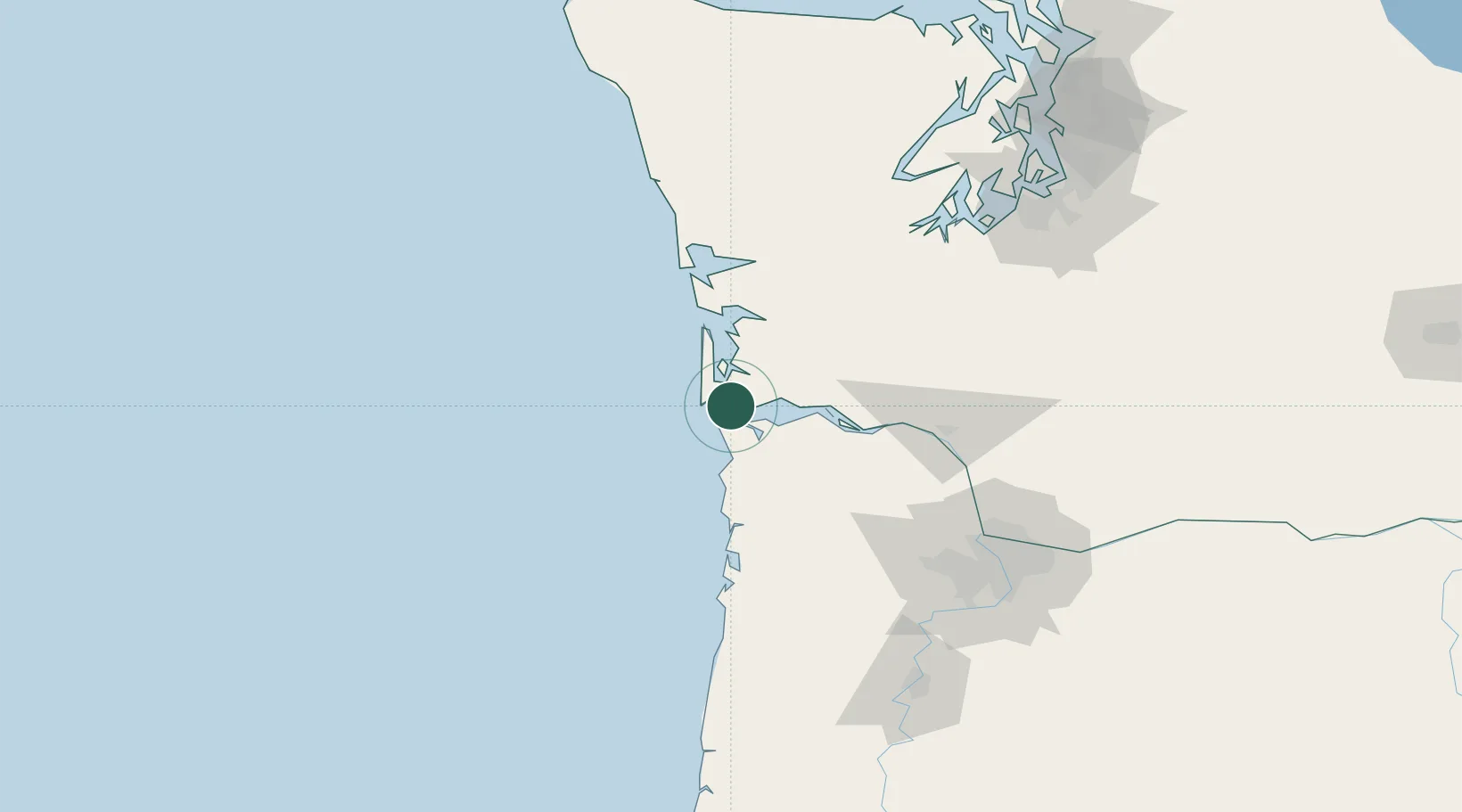
Place type
Populated place
Region
Washington
Population
466
Time zone
America/Los_Angeles
Elevation
3 m
Location
Nearby Logistics Neighbours
Cities
- 1Astoria10 km
- 2Bradwood40 km
- 3Cathlamet43 km
- 4Wauna Range43 km
- 5Long Beach46 km
Ports
- 1Ilwaco10 km
- 2Astoria11 km
- 3Warrenton11 km
- 4South Bend46 km
- 5Willapa Harbor48 km
Airports
- 1Astoria Regional Airport13 km
- 2Bowerman Airport78 km
- 3Southwest Washington Regional Airport81 km
- 4Olympia Regional Airport111 km
- 5Portland Hillsboro Airport111 km
Trade Zones
- 1FTZ No. 120 Cowlitz County73 km
- 2FTZ No. 255 Washington County90 km
- 3FTZ No. 173 Grays Harbor105 km
- 4FTZ No. 216 Olympia115 km
- 5FTZ No. 296 Vancouver119 km
DatabookThe Record of Consolidated Knowledge
United States beyond logistics?