Medium airport · United States

Astoria Regional AirportKAST

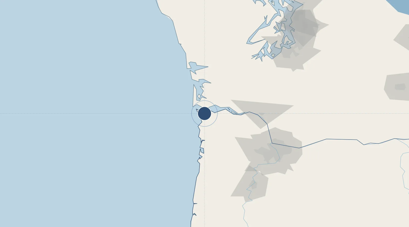
46.1580°, -123.8790°
5,794 ft
Longest runway
2
Runways
15 ft
Elevation

Runway & Layout

Astoria Regional Airport runway & taxiway layout
Runway & taxiway layout — OpenStreetMap (ODbL) / OurAirports

Radio Frequencies

ASOS
135.375 MHz
CNTR
124.2 MHz
SEATTLE CNTR
MISC
38.18 MHz
AIR CG
RDO
122.3 MHz
MC MINNVILLE RDO
UNIC
122.8 MHz
CTAF/UNICOM
OurAirports

Runways · 2

RunwayDimensions SurfaceTrue headingLit
08/26 5,794 × 100ft Asphalt 095°
14/32 4,467 × 100ft Asphalt 154°
OurAirports

Airport Specifications

IATA code
AST
OurAirports
ICAO code
KAST
OurAirports
Airport class
Medium airport
OurAirports
Scheduled service
No
OurAirports
Runway surface
Asphalt
OurAirports
Served city
Astoria
OurAirports

Location

Location of KAST
Natural Earth 10m (public domain) · Oregon · KAST · 46.16, -123.88GoogleOSMYandex

Nearby Logistics Neighbours

Airports
  1. 1Southwest Washington Regional Airport76 km
  2. 2Bowerman Airport91 km
  3. 3Portland Hillsboro Airport100 km
  4. 4Olympia Regional Airport117 km
  5. 5Portland International Airport118 km
Nearest neighbours — logibook spatial index (haversine) over the source coordinates
Cities
  1. 1Astoria4 km
  2. 2Chinook13 km
  3. 3Bradwood34 km
  4. 4Wauna Range37 km
  5. 5Cathlamet38 km
Nearest neighbours — logibook spatial index (haversine) over the source coordinates
Ports
  1. 1Warrenton3 km
  2. 2Astoria6 km
  3. 3Ilwaco21 km
  4. 4South Bend57 km
  5. 5Willapa Harbor59 km
Nearest neighbours — logibook spatial index (haversine) over the source coordinates
Trade Zones
  1. 1FTZ No. 120 Cowlitz County67 km
  2. 2FTZ No. 255 Washington County78 km
  3. 3FTZ No. 045 Portland108 km
  4. 4FTZ No. 296 Vancouver109 km
  5. 5FTZ No. 173 Grays Harbor117 km
Nearest neighbours — logibook spatial index (haversine) over the source coordinates
DatabookThe Record of Consolidated Knowledge
United States beyond logistics?
Browse databook

All Sources

AirportsOurAirports
Public domain
Portsthe NGA World Port Index
Public domain (US gov)
LocationsUN/LOCODE
UN/LOCODE — free
Trade Zonesthe World Bank SEZ database
CC BY 4.0
Trade ZonesOpen Zone Map
CC BY
InfrastructureOpenStreetMap
ODbL 1.0
← United States airports