Large airport · Tonga
Vava'u International AirportNFTV
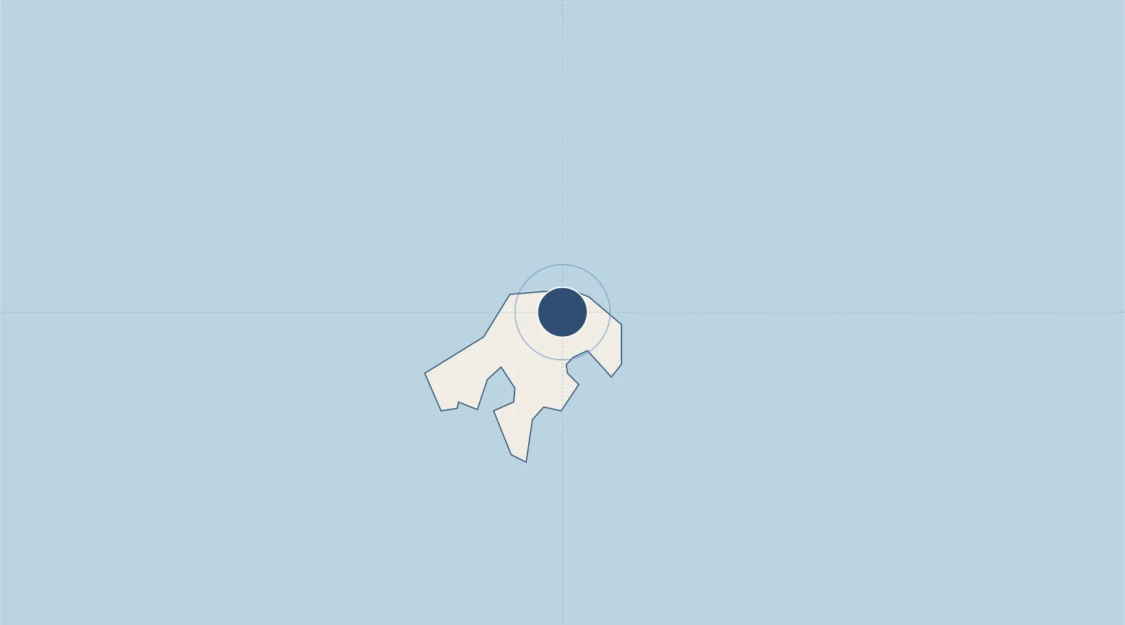
-18.5853°, -173.9620°
5,593 ft
Longest runway
1
Runways
236 ft
Elevation
Runway & Layout

Radio Frequencies
AFIS
118.1 MHz
FLT SVC
FSS
322.6 MHz
FLT SVC
Navaids
TV NDB Vavau 400 kHz
Runways · 1
| Runway | Dimensions | Surface | True heading | Lit |
|---|---|---|---|---|
| 08/26 | 5,593 × 98ft | Bitumen | 096° | ✓ |
Airport Specifications
IATA code
VAV
ICAO code
NFTV
Airport class
Large airport
Scheduled service
Yes
Runway surface
Bitumen
Served city
Vava'u Island
Location
Nearby Logistics Neighbours
Airports
- 1Lifuka Island Airport138 km
- 2Kuini Lavenia Airport291 km
- 3Fua'amotu International Airport320 km
- 4Kaufana Airport328 km
- 5Niue International Airport429 km
Cities
- 1Nuku'alofa312 km
- 2Alofi429 km
- 3Halalo632 km
- 4Matâ'utu636 km
- 5Sigavé656 km
Ports
- 1Neiafu8 km
- 2Pangai141 km
- 3Nuku Alofa312 km
- 4Alofi427 km
- 5Apia580 km
Trade Zones
- 1FTZ No. 009 Honolulu4769 km
- 2FTZ No. 205 Port Hueneme8242 km
- 3FTZ No. 003 San Francisco8264 km
- 4FTZ No. 018 San Jose8267 km
- 5FTZ No. 056 Oakland8273 km
DatabookThe Record of Consolidated Knowledge
Tonga beyond logistics?