Small airport · Tonga
Kaufana AirportNFTE
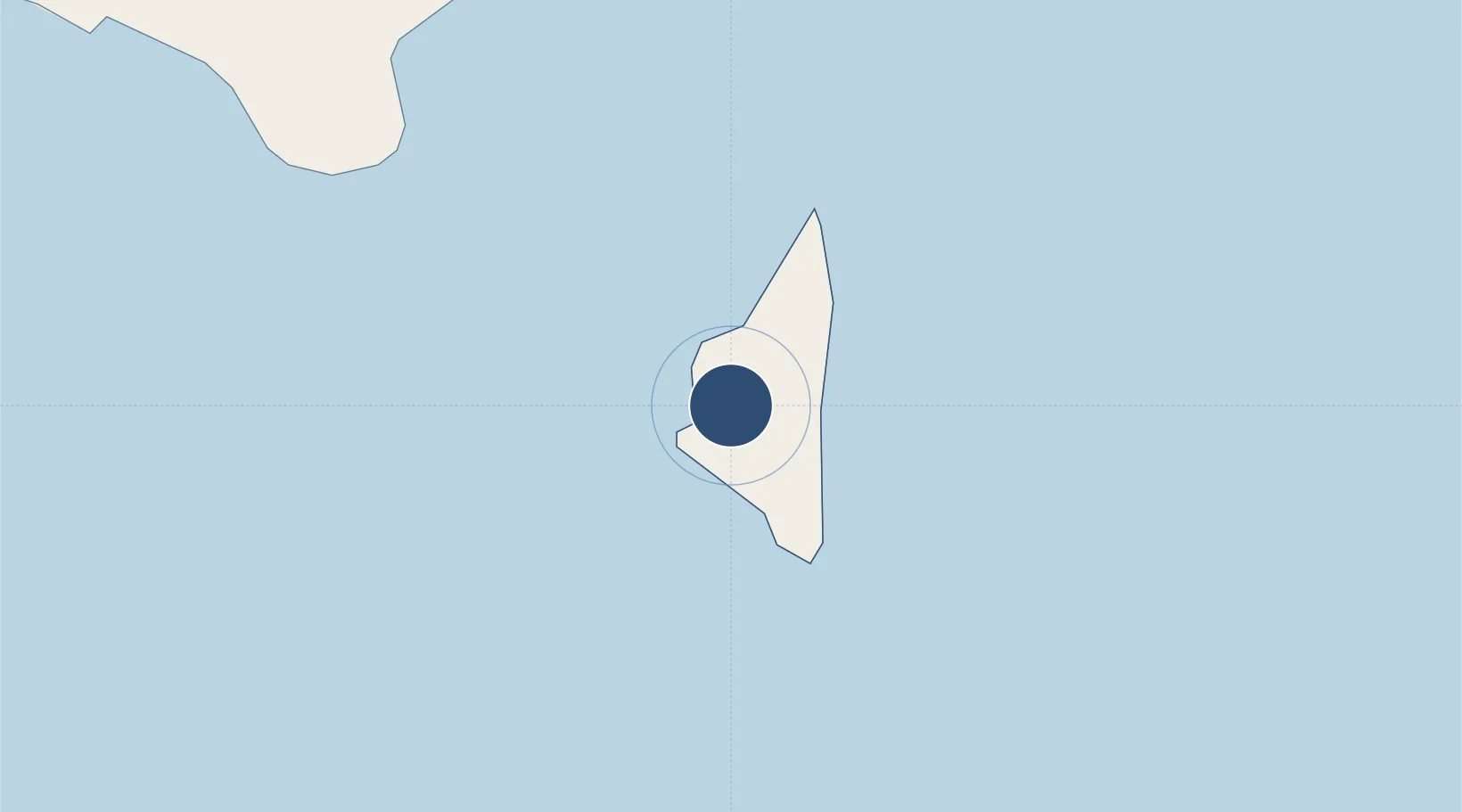
-21.3783°, -174.9580°
2,650 ft
Longest runway
1
Runways
325 ft
Elevation
Runway & Layout

Runways · 1
| Runway | Dimensions | Surface | True heading | Lit |
|---|---|---|---|---|
| 34/16 | 2,650 × 65ft | Asphalt | — | — |
Airport Specifications
IATA code
EUA
ICAO code
NFTE
Airport class
Small airport
Scheduled service
Yes
Runway surface
Asphalt
Served city
Eua Island
Location
Nearby Logistics Neighbours
Airports
- 1Fua'amotu International Airport25 km
- 2Lifuka Island Airport189 km
- 3Vava'u International Airport328 km
- 4Lakeba Island Airport537 km
- 5Niue International Airport584 km
Cities
- 1Nuku'alofa37 km
- 2Alofi586 km
- 3Sigavé859 km
- 4Halalo905 km
- 5Matâ'utu909 km
Ports
- 1Nuku Alofa37 km
- 2Pangai187 km
- 3Neiafu320 km
- 4Alofi586 km
- 5Apia906 km
Trade Zones
- 1FTZ No. 009 Honolulu5096 km
- 2FTZ No. 205 Port Hueneme8536 km
- 3FTZ No. 003 San Francisco8569 km
- 4FTZ No. 018 San Jose8570 km
- 5FTZ No. 202 Los Angeles8575 km
DatabookThe Record of Consolidated Knowledge
Tonga beyond logistics?