Large airport · Tonga
Fua'amotu International AirportNFTF
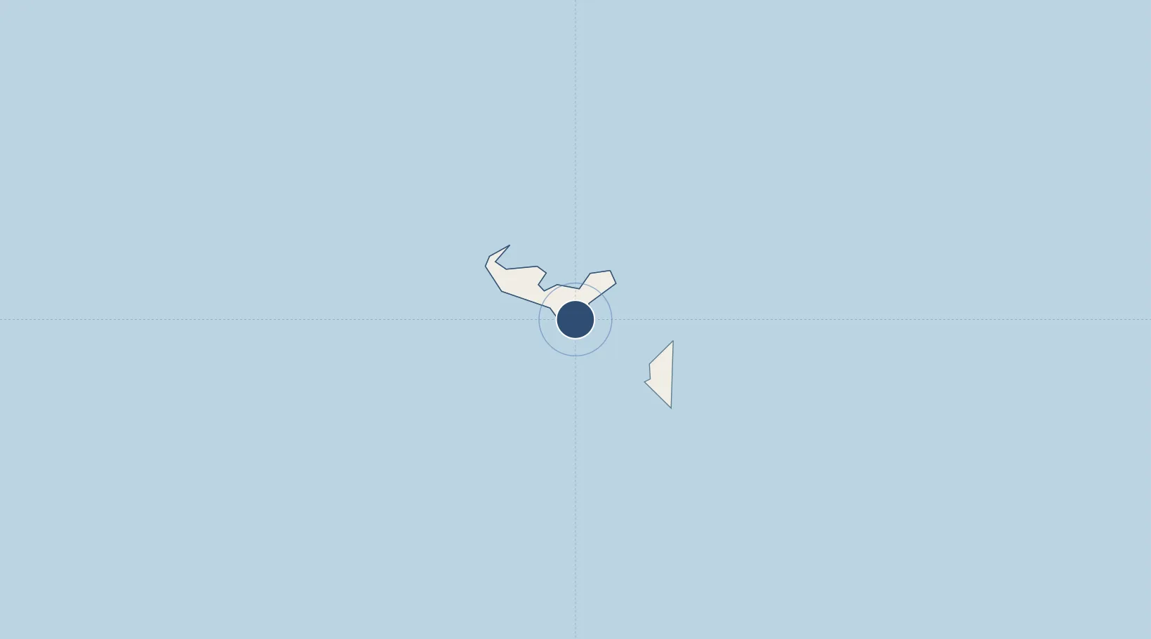
-21.2414°, -175.1492°
8,795 ft
Longest runway
2
Runways
126 ft
Elevation
Runway & Layout

Radio Frequencies
TWR
118.5 MHz
GND
121.9 MHz
APP
118.5 MHz
AFIS
322.6 MHz
RDO
AFIS
884.6 MHz
RDO
Navaids
FM NDB Fua Amotu 245 kHz
TBU VOR-DME Fua Amotu 114.50 MHz
Runways · 2
| Runway | Dimensions | Surface | True heading | Lit |
|---|---|---|---|---|
| 11/29 | 8,795 × 147ft | Asphalt | 122° | ✓ |
| 17/35 | 4,951 × 195ft | Grass | 181° | — |
Airport Specifications
IATA code
TBU
ICAO code
NFTF
Airport class
Large airport
Scheduled service
Yes
Runway surface
Asphalt
Served city
Nuku'alofa
Location
Nearby Logistics Neighbours
Airports
- 1Kaufana Airport25 km
- 2Lifuka Island Airport183 km
- 3Vava'u International Airport320 km
- 4Lakeba Island Airport512 km
- 5Cicia Airport587 km
Cities
- 1Nuku'alofa13 km
- 2Alofi598 km
- 3Sigavé837 km
- 4Halalo887 km
- 5Matâ'utu892 km
Ports
- 1Nuku Alofa13 km
- 2Pangai181 km
- 3Neiafu313 km
- 4Alofi597 km
- 5Mata-Utu891 km
Trade Zones
- 1FTZ No. 009 Honolulu5089 km
- 2FTZ No. 205 Port Hueneme8539 km
- 3FTZ No. 003 San Francisco8570 km
- 4FTZ No. 018 San Jose8572 km
- 5FTZ No. 202 Los Angeles8579 km
DatabookThe Record of Consolidated Knowledge
Tonga beyond logistics?