Seaport · Tunisia

ZarzisTNZRZ

33.5000°, 11.1167°
12.5 m
Channel depth
10.4
Port liner connectivity
Zarzis is also a UN/LOCODE logistics hub →

Channel & Berth Profile

SEA LEVEL (CD)CHANNEL BEDAnchorage · 4.9 mOil terminal · 7.9 mCargo pier · 9.4 mChannel · 12.5 m
NGA World Port Index

Pilotage, Tugs & Services

Pilotage compulsoryYES
Pilotage availableYES
Tug assistanceYES
Potable waterYES
MedicalYES
Garbage disposalYES
NGA World Port Index

Facilities & Capabilities

Container
Ro-Ro
Liquid bulk
Dry bulk
Oil terminal
Break bulk
Dry dock
Repairs
BunkeringYES
Rail link
Dangerous cargo
ISPS security
NGA World Port Index

Harbour Specifications

Harbour size
Very Small
NGA World Port Index
Harbour type
Coastal (Breakwater)
NGA World Port Index
Shelter
Fair
NGA World Port Index
Water body
Mediterranean Sea; North Atlantic Ocean
NGA World Port Index
Tidal range
1 m
NGA World Port Index
Overhead limit
No
NGA World Port Index
Pilotage
Yes
NGA World Port Index

Liner Connectivity

10.4
PLSCI

Port Liner Shipping Connectivity Index for Zarzis, as published by UNCTAD for the latest available quarter. Higher values indicate stronger scheduled liner-shipping integration.

Shown relative to the highest per-port PLSCI in the dataset (1,657.9).
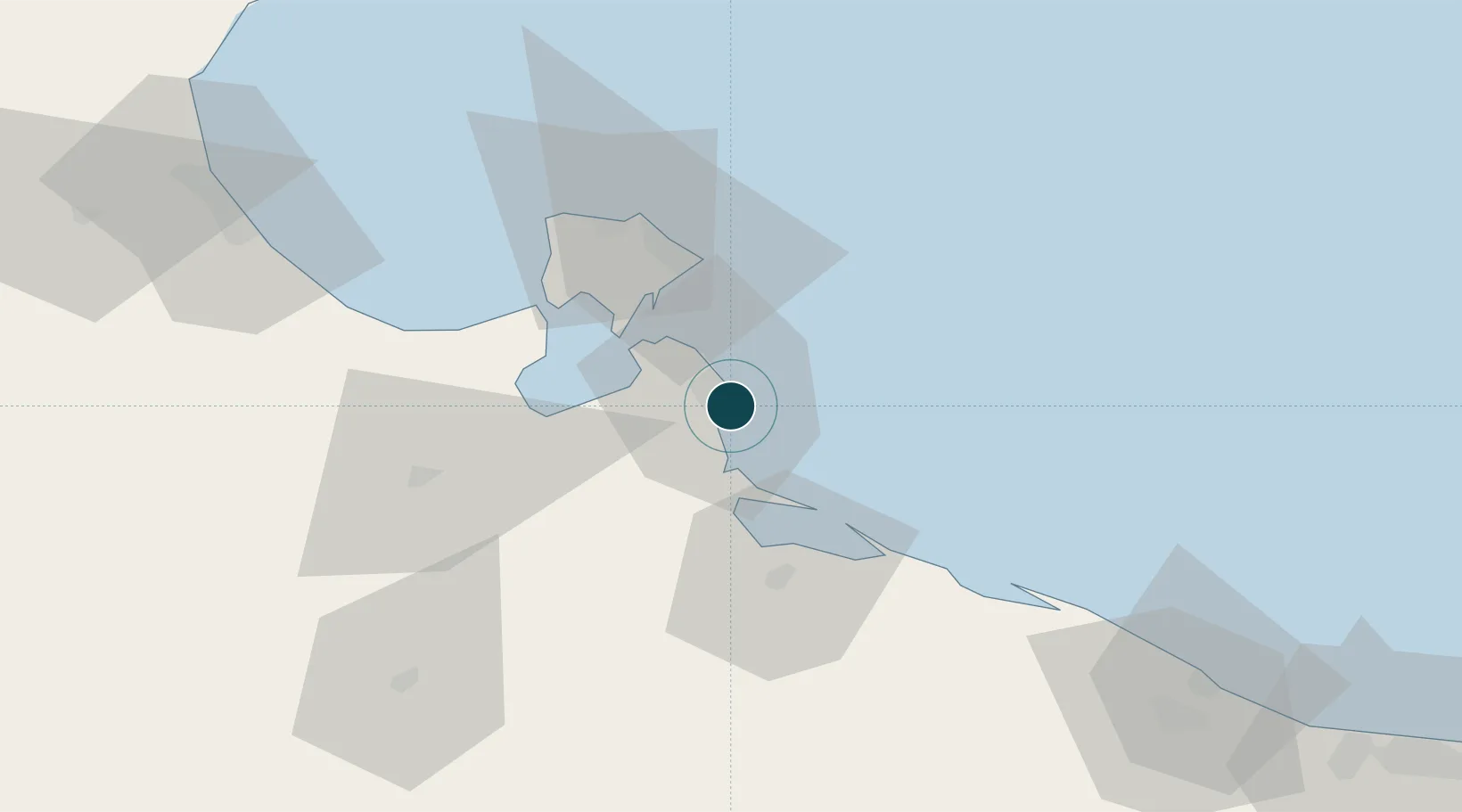
UNCTAD · Port Liner Shipping Connectivity Index

Location

Location of TNZRZ
Natural Earth 10m (public domain) · Médenine · TNZRZ · 33.50, 11.12GoogleOSMYandex

Nearby Logistics Neighbours

Ports
  1. 1Houmt Souk49 km
  2. 2Didon Terminal79 km
  3. 3Abu Khammash81 km
  4. 4Ashtart Oil Terminal91 km
  5. 5Gabes103 km
Nearest neighbours — logibook spatial index (haversine) over the source coordinates
Cities
  1. 1Medenine60 km
  2. 2Didon78 km
  3. 3Gabès102 km
  4. 4Mahires128 km
  5. 5Sfax138 km
Nearest neighbours — logibook spatial index (haversine) over the source coordinates
Airports
  1. 1Djerba Zarzis International Airport52 km
  2. 2Gabès Matmata International Airport114 km
  3. 3Okba Ibn Nafa Air Base135 km
  4. 4Sfax Thyna International Airport141 km
  5. 5Remada Air Base149 km
Nearest neighbours — logibook spatial index (haversine) over the source coordinates
Trade Zones
  1. 1Zarzis Park of Economic Activities2 km
  2. 2Ben Guerdane Economic Free Zone57 km
  3. 3Zwara-Abu-Kemmash Free Trade Zone106 km
  4. 4Taminhent Free Zone134 km
  5. 5Misurata Free Zone404 km
Nearest neighbours — logibook spatial index (haversine) over the source coordinates
DatabookThe Record of Consolidated Knowledge
Tunisia beyond logistics?
Browse databook

All Sources

Portsthe NGA World Port Index
Public domain (US gov)
Logistics performanceUNCTAD
CC BY 3.0 IGO
AirportsOurAirports
Public domain
LocationsUN/LOCODE
UN/LOCODE — free
Trade Zonesthe World Bank SEZ database
CC BY 4.0
Trade ZonesOpen Zone Map
CC BY
← Tunisia ports