Transport Functions
Port
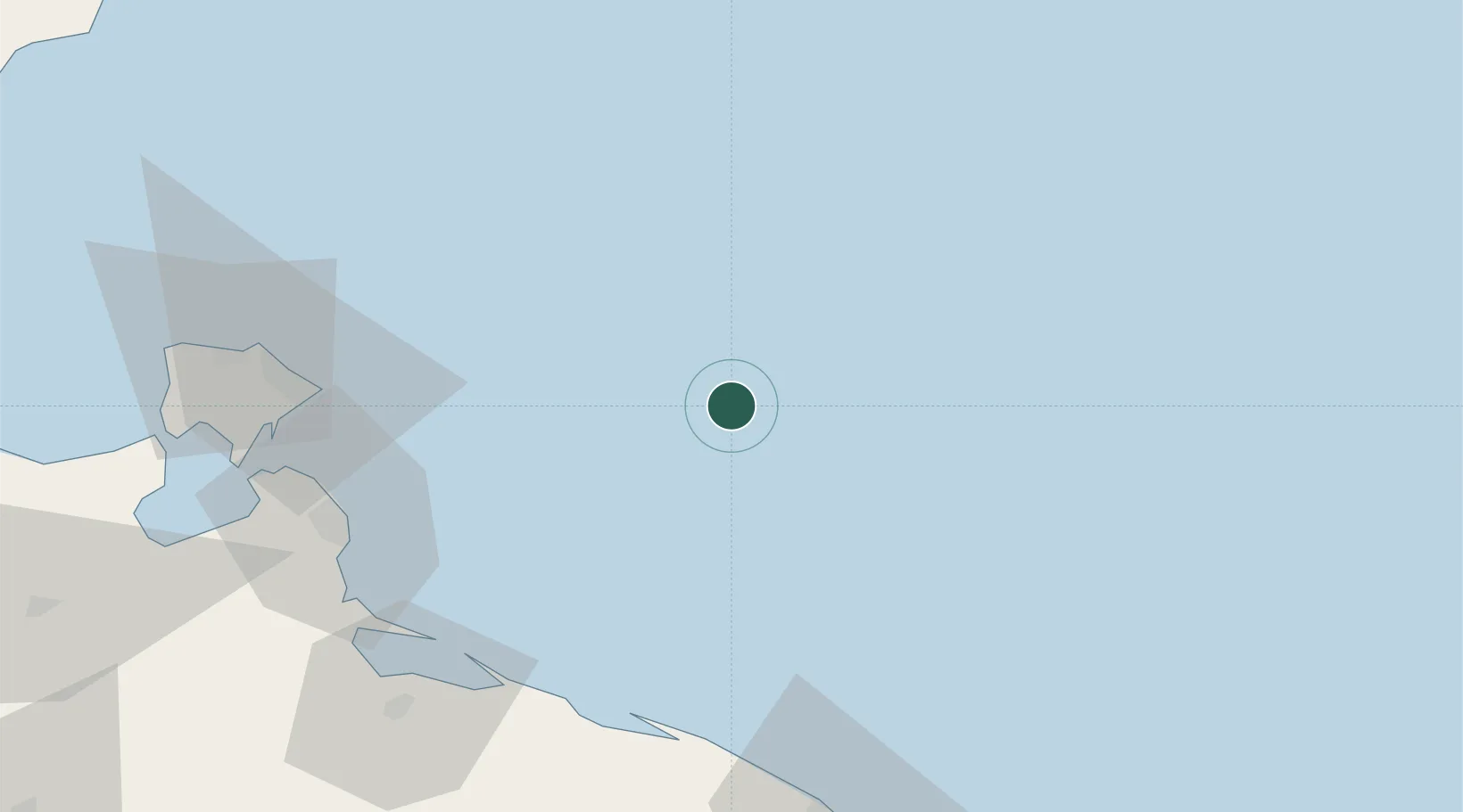
Location
Nearby Logistics Neighbours
Cities
- 1Zarzis78 km
- 2Az Zawiyah136 km
- 3Medenine138 km
- 4Sfax150 km
- 5Tripoli153 km
Ports
- 1Bouri Oil Field71 km
- 2Ashtart Oil Terminal75 km
- 3Abu Khammash78 km
- 4Zarzis78 km
- 5Houmt Souk98 km
Airports
Trade Zones
DatabookThe Record of Consolidated Knowledge
Tunisia beyond logistics?