Seaport · Tunisia

GabesTNGAE

33.9000°, 10.1167°
12.5 m
Channel depth
9.1
Port liner connectivity
Gabes is also a UN/LOCODE logistics hub →

Channel & Berth Profile

SEA LEVEL (CD)CHANNEL BEDAnchorage · 6.4 mCargo pier · 9.4 mOil terminal · 9.4 mChannel · 12.5 m
NGA World Port Index

Pilotage, Tugs & Services

Pilotage compulsoryYES
Pilotage availableYES
Tug assistanceYES
Salvage tugsNO
Potable waterYES
Diesel bunkersYES
MedicalYES
NGA World Port Index

Facilities & Capabilities

Container
Ro-Ro
Liquid bulk
Dry bulk
Oil terminal
Break bulk
Dry dock
RepairsNO
BunkeringYES
Rail linkYES
Dangerous cargo
ISPS security
NGA World Port Index

Harbour Specifications

Harbour size
Small
NGA World Port Index
Harbour type
Coastal (Breakwater)
NGA World Port Index
Shelter
Good
NGA World Port Index
Water body
Mediterranean Sea; North Atlantic Ocean
NGA World Port Index
Tidal range
2 m
NGA World Port Index
Pilotage
Yes
NGA World Port Index

Liner Connectivity

9.1
PLSCI

Port Liner Shipping Connectivity Index for Gabes, as published by UNCTAD for the latest available quarter. Higher values indicate stronger scheduled liner-shipping integration.

Shown relative to the highest per-port PLSCI in the dataset (1,657.9).
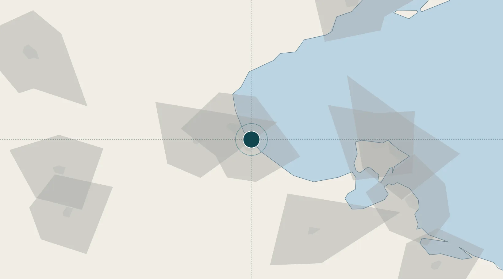
UNCTAD · Port Liner Shipping Connectivity Index

Location

Location of TNGAE
Natural Earth 10m (public domain) · Gabès · TNGAE · 33.90, 10.12GoogleOSMYandex

Nearby Logistics Neighbours

Ports
  1. 1Skhira43 km
  2. 2Houmt Souk68 km
  3. 3Zarzis103 km
  4. 4Mersa Sfax110 km
  5. 5Ashtart Oil Terminal124 km
Nearest neighbours — logibook spatial index (haversine) over the source coordinates
Cities
  1. 1Medenine71 km
  2. 2Mahires79 km
  3. 3Zarzis103 km
  4. 4Sfax105 km
  5. 5Kebili109 km
Nearest neighbours — logibook spatial index (haversine) over the source coordinates
Airports
  1. 1Gabès Matmata International Airport26 km
  2. 2Djerba Zarzis International Airport61 km
  3. 3Sfax Thyna International Airport105 km
  4. 4Gafsa Ksar International Airport133 km
  5. 5Remada Air Base179 km
Nearest neighbours — logibook spatial index (haversine) over the source coordinates
Trade Zones
  1. 1Zarzis Park of Economic Activities103 km
  2. 2Ben Guerdane Economic Free Zone158 km
  3. 3Zwara-Abu-Kemmash Free Trade Zone208 km
  4. 4Taminhent Free Zone229 km
  5. 5Bizerte Park of Economic Activities375 km
Nearest neighbours — logibook spatial index (haversine) over the source coordinates
DatabookThe Record of Consolidated Knowledge
Tunisia beyond logistics?
Browse databook

All Sources

Portsthe NGA World Port Index
Public domain (US gov)
Logistics performanceUNCTAD
CC BY 3.0 IGO
AirportsOurAirports
Public domain
LocationsUN/LOCODE
UN/LOCODE — free
Trade Zonesthe World Bank SEZ database
CC BY 4.0
Trade ZonesOpen Zone Map
CC BY
← Tunisia ports