Medium airport · Tunisia
Remada Air BaseDTTD
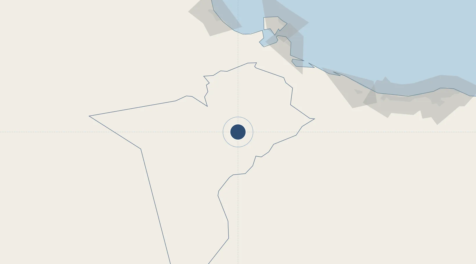
32.3062°, 10.3821°
7,812 ft
Longest runway
1
Runways
1,004 ft
Elevation
Runway & Layout

Runways · 1
| Runway | Dimensions | Surface | True heading | Lit |
|---|---|---|---|---|
| 02/20 | 7,812 × 148ft | Asphalt | 023° | — |
Airport Specifications
ICAO code
DTTD
Airport class
Medium airport
Scheduled service
No
Runway surface
Asphalt
Served city
Remada
Location
Nearby Logistics Neighbours
Airports
- 1El Borma Airport126 km
- 2Okba Ibn Nafa Air Base144 km
- 3Gabès Matmata International Airport165 km
- 4Djerba Zarzis International Airport178 km
- 5Ghadames Airport249 km
Ports
- 1Zarzis149 km
- 2Abu Khammash159 km
- 3Gabes179 km
- 4Houmt Souk181 km
- 5Didon Terminal217 km
Trade Zones
- 1Ben Guerdane Economic Free Zone144 km
- 2Taminhent Free Zone145 km
- 3Zarzis Park of Economic Activities148 km
- 4Zwara-Abu-Kemmash Free Trade Zone170 km
- 5Misurata Free Zone454 km
DatabookThe Record of Consolidated Knowledge
Tunisia beyond logistics?