Medium airport · Tunisia

Gabès Matmata International AirportDTTG
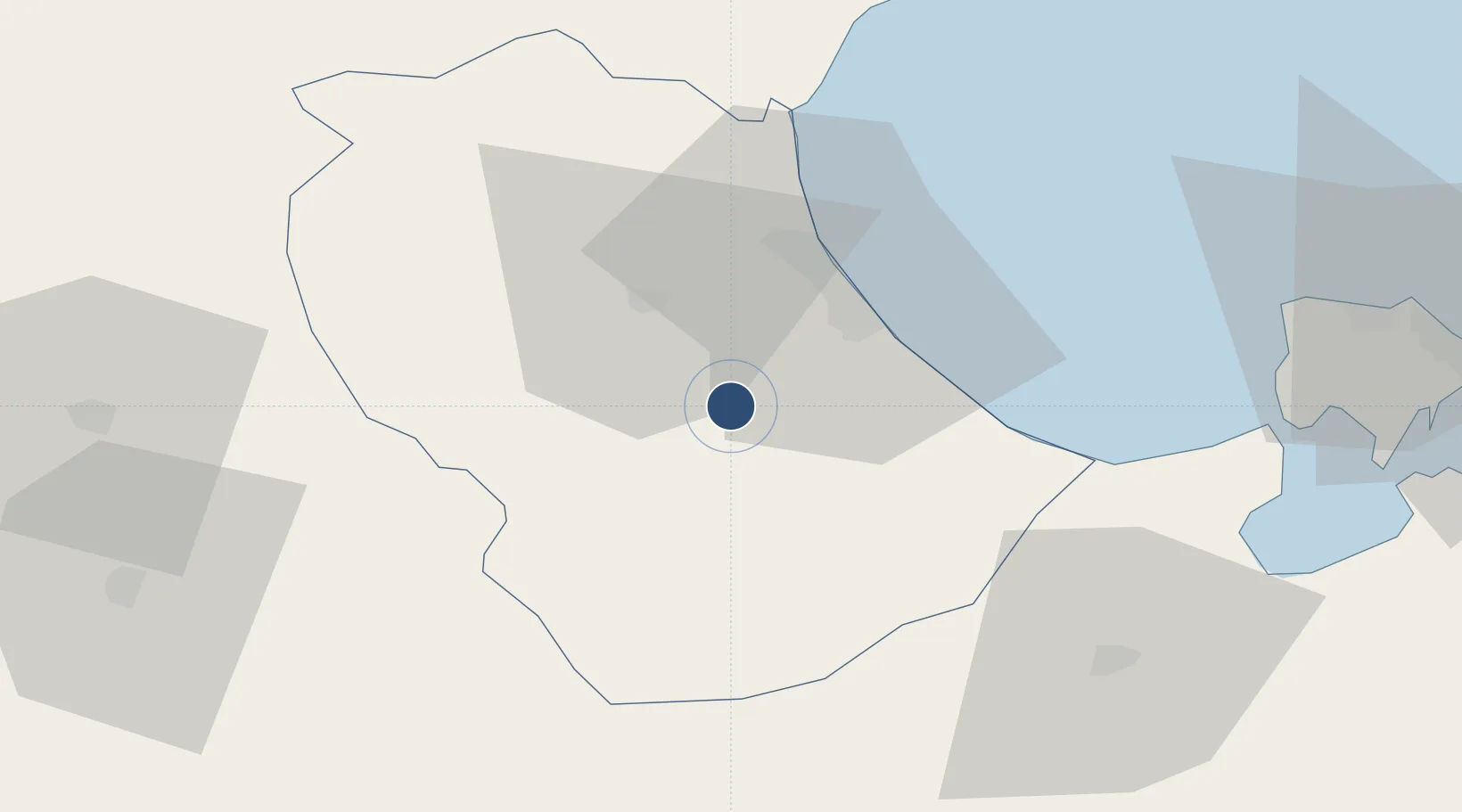
33.7337°, 9.9194°
3,702 ft
Longest runway
1
Runways
407 ft
Elevation

Runway & Layout

Gabès Matmata International Airport runway & taxiway layout
Runway & taxiway layout — OpenStreetMap (ODbL) / OurAirports

Radio Frequencies

TWR
119.15 MHz
APP/DEP
129.15 MHz
OurAirports

Navaids

GAB VOR-DME Gabes 115.40 MHz
OurAirports

Runways · 1

RunwayDimensions SurfaceTrue headingLit
06/24 3,702 × 82ft Asphalt 061°
OurAirports

Airport Specifications

IATA code
GAE
OurAirports
ICAO code
DTTG
OurAirports
Airport class
Medium airport
OurAirports
Scheduled service
Yes
OurAirports
Runway surface
Asphalt
OurAirports
Served city
Gabès
OurAirports

Location

Location of DTTG
Natural Earth 10m (public domain) · Gabès · DTTG · 33.73, 9.92GoogleOSMYandex

Nearby Logistics Neighbours

Airports
  1. 1Djerba Zarzis International Airport81 km
  2. 2Gafsa Ksar International Airport127 km
  3. 3Sfax Thyna International Airport130 km
  4. 4Remada Air Base165 km
  5. 5Tozeur Nefta International Airport169 km
Nearest neighbours — logibook spatial index (haversine) over the source coordinates
Cities
  1. 1Gabès25 km
  2. 2Medenine69 km
  3. 3Kebili88 km
  4. 4Mahires104 km
  5. 5Zarzis114 km
Nearest neighbours — logibook spatial index (haversine) over the source coordinates
Ports
  1. 1Gabes26 km
  2. 2Skhira63 km
  3. 3Houmt Souk88 km
  4. 4Zarzis114 km
  5. 5Mersa Sfax136 km
Nearest neighbours — logibook spatial index (haversine) over the source coordinates
Trade Zones
  1. 1Zarzis Park of Economic Activities114 km
  2. 2Ben Guerdane Economic Free Zone165 km
  3. 3Zwara-Abu-Kemmash Free Trade Zone216 km
  4. 4Taminhent Free Zone231 km
  5. 5Bizerte Park of Economic Activities393 km
Nearest neighbours — logibook spatial index (haversine) over the source coordinates
DatabookThe Record of Consolidated Knowledge
Tunisia beyond logistics?
Browse databook

All Sources

AirportsOurAirports
Public domain
Portsthe NGA World Port Index
Public domain (US gov)
LocationsUN/LOCODE
UN/LOCODE — free
Trade Zonesthe World Bank SEZ database
CC BY 4.0
Trade ZonesOpen Zone Map
CC BY
InfrastructureOpenStreetMap
ODbL 1.0
← Tunisia airports