Large airport · Tunisia

Djerba Zarzis International AirportDTTJ
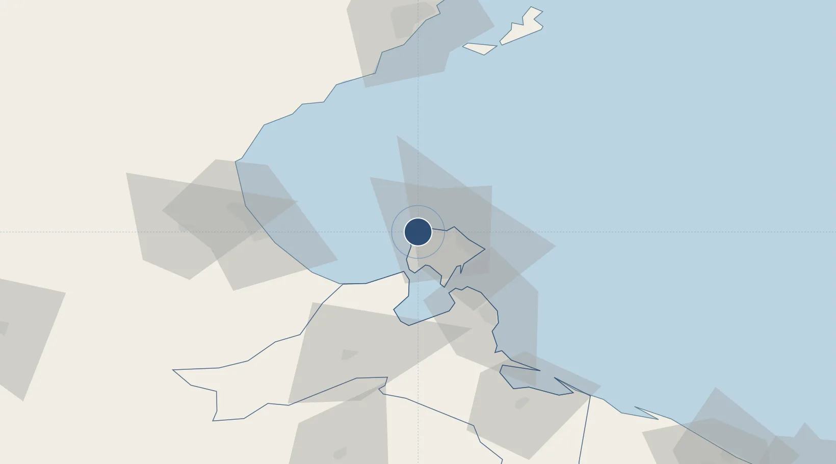
33.8737°, 10.7773°
10,171 ft
Longest runway
1
Runways
19 ft
Elevation

Runway & Layout

Djerba Zarzis International Airport runway & taxiway layout
Runway & taxiway layout — OpenStreetMap (ODbL) / OurAirports

Radio Frequencies

TWR
118.15 MHz
DJERBA TWR
APP
120.3 MHz
DJERBA APP
OurAirports

Navaids

JBA VOR-DME Djerba 112.20 MHz
OurAirports

Runways · 1

RunwayDimensions SurfaceTrue headingLit
09/27 10,171 × 148ft Asphalt 088°
OurAirports

Airport Specifications

IATA code
DJE
OurAirports
ICAO code
DTTJ
OurAirports
Airport class
Large airport
OurAirports
Scheduled service
Yes
OurAirports
Runway surface
Asphalt
OurAirports
Served city
Mellita
OurAirports

Location

Location of DTTJ
Natural Earth 10m (public domain) · Médenine · DTTJ · 33.87, 10.78GoogleOSMYandex

Nearby Logistics Neighbours

Airports
  1. 1Gabès Matmata International Airport81 km
  2. 2Sfax Thyna International Airport94 km
  3. 3Remada Air Base178 km
  4. 4Okba Ibn Nafa Air Base187 km
  5. 5Gafsa Ksar International Airport190 km
Nearest neighbours — logibook spatial index (haversine) over the source coordinates
Cities
  1. 1Zarzis52 km
  2. 2Gabès61 km
  3. 3Medenine64 km
  4. 4Mahires78 km
  5. 5Sfax92 km
Nearest neighbours — logibook spatial index (haversine) over the source coordinates
Ports
  1. 1Houmt Souk7 km
  2. 2Zarzis52 km
  3. 3Gabes61 km
  4. 4Ashtart Oil Terminal72 km
  5. 5Skhira77 km
Nearest neighbours — logibook spatial index (haversine) over the source coordinates
Trade Zones
  1. 1Zarzis Park of Economic Activities53 km
  2. 2Ben Guerdane Economic Free Zone109 km
  3. 3Zwara-Abu-Kemmash Free Trade Zone157 km
  4. 4Taminhent Free Zone186 km
  5. 5Bizerte Park of Economic Activities386 km
Nearest neighbours — logibook spatial index (haversine) over the source coordinates
DatabookThe Record of Consolidated Knowledge
Tunisia beyond logistics?
Browse databook

All Sources

AirportsOurAirports
Public domain
Portsthe NGA World Port Index
Public domain (US gov)
LocationsUN/LOCODE
UN/LOCODE — free
Trade Zonesthe World Bank SEZ database
CC BY 4.0
Trade ZonesOpen Zone Map
CC BY
InfrastructureOpenStreetMap
ODbL 1.0
← Tunisia airports