Transport Functions
Port
Airport
Hub Profile
Place type
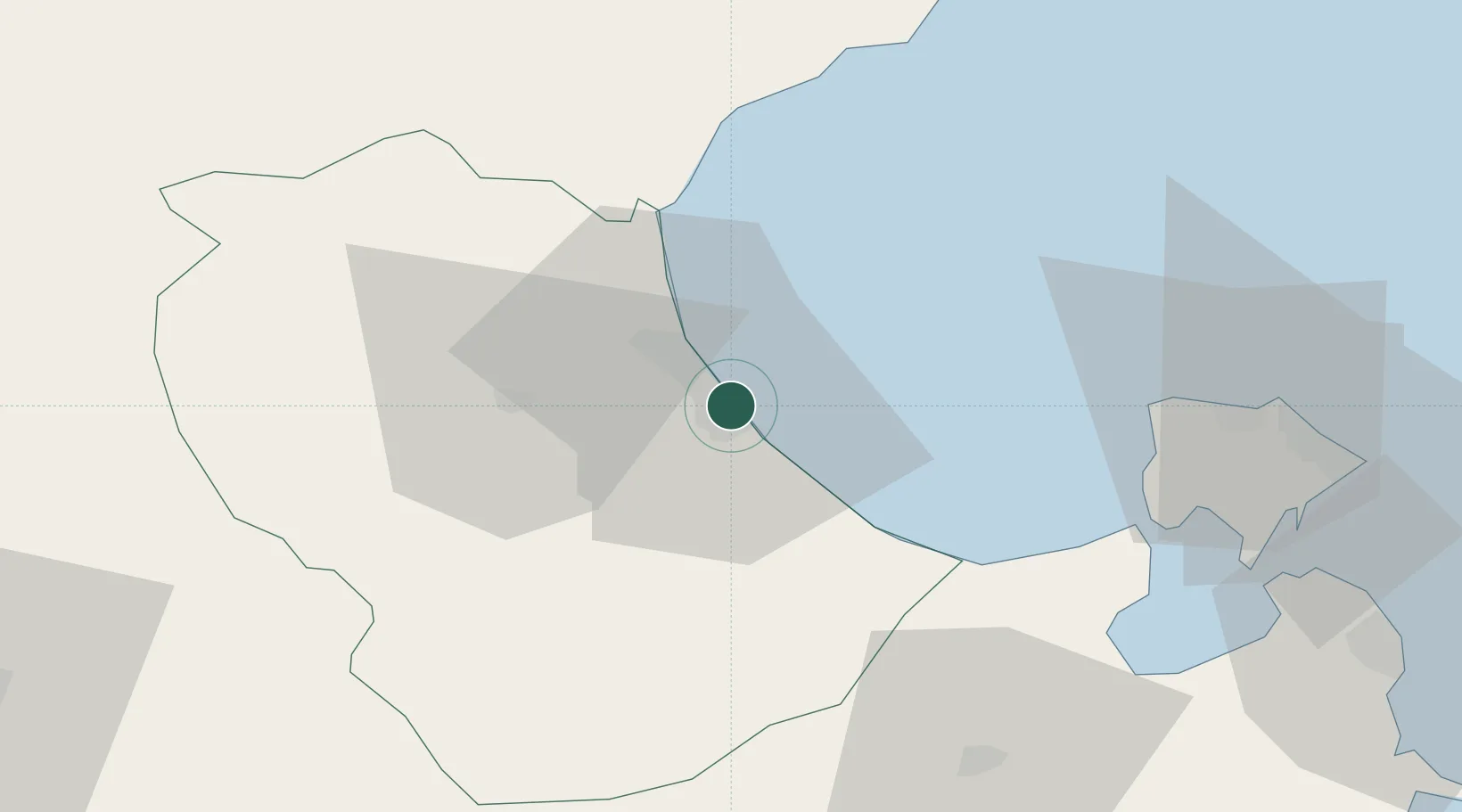
Regional capital
Region
Gabès Governorate
Population
110,075
Time zone
Africa/Tunis
Elevation
9 m
Location
Nearby Logistics Neighbours
Ports
- 1Skhira45 km
- 2Houmt Souk68 km
- 3Zarzis102 km
- 4Mersa Sfax112 km
- 5Ashtart Oil Terminal125 km
Airports
Trade Zones
DatabookThe Record of Consolidated Knowledge
Tunisia beyond logistics?