UN/LOCODE hub · Tunisia
TNSFA
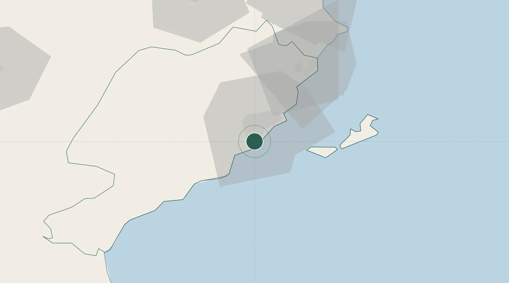
Sfax
34.6984°, 10.7183°
280,566
Population
4
Transport functions
1
Container terminals
Transport Functions
Port
Rail
Road
Airport
Hub Profile
Place type
Regional capital
Region
Sfax Governorate
Population
280,566
Time zone
Africa/Tunis
Elevation
8 m
Logistics facilities
2
Container terminals
1
Location
Nearby Logistics Neighbours
Ports
- 1Skhira73 km
- 2Ashtart Oil Terminal76 km
- 3Houmt Souk91 km
- 4Mahdia95 km
- 5Gabes105 km
Airports
Trade Zones
DatabookThe Record of Consolidated Knowledge
Tunisia beyond logistics?