Transport Functions
Rail
Road
Hub Profile
Place type
Populated place
Region
Sfax Governorate
Population
15,878
Time zone
Africa/Tunis
Elevation
9 m
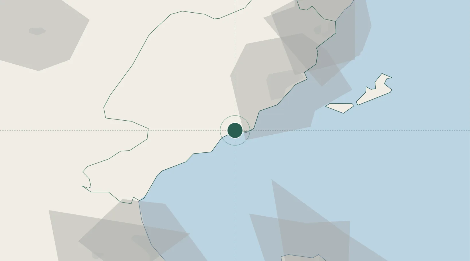
Location
Nearby Logistics Neighbours
Ports
- 1Mersa Sfax33 km
- 2Skhira46 km
- 3Gabes79 km
- 4Houmt Souk79 km
- 5Ashtart Oil Terminal86 km
Airports
Trade Zones
DatabookThe Record of Consolidated Knowledge
Tunisia beyond logistics?