Large airport · Tunisia

Sfax Thyna International AirportDTTX
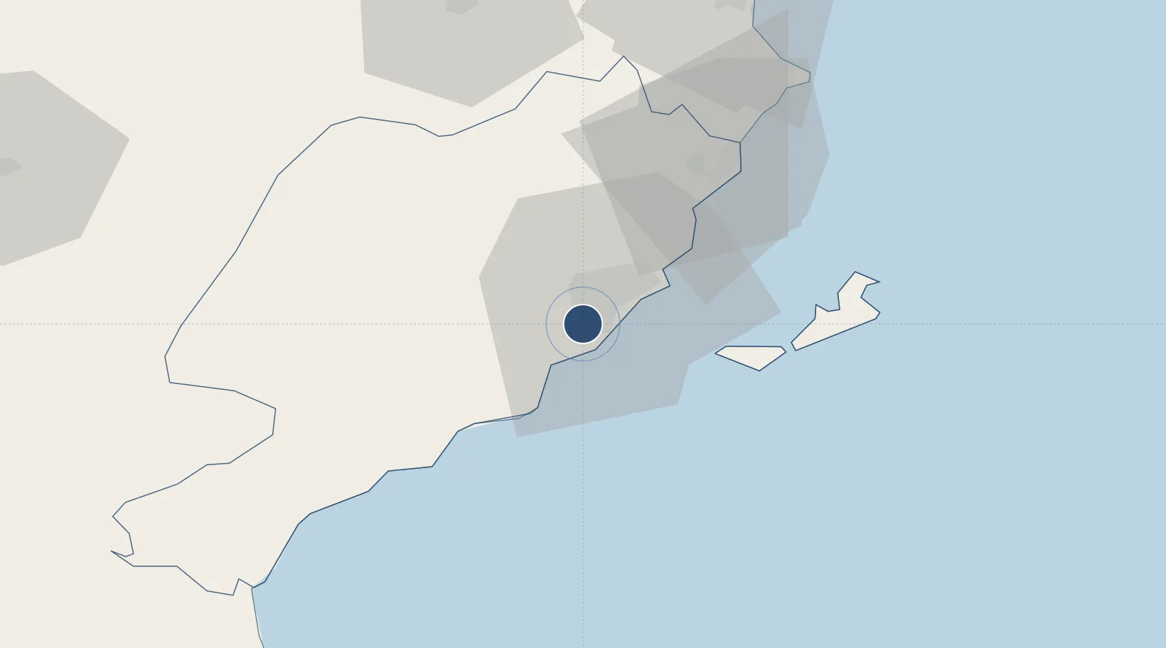
34.7180°, 10.6910°
9,843 ft
Longest runway
1
Runways
85 ft
Elevation

Runway & Layout

Sfax Thyna International Airport runway & taxiway layout
Runway & taxiway layout — OpenStreetMap (ODbL) / OurAirports

Radio Frequencies

TWR
120.15 MHz
SFAX TWR
APP
123.7 MHz
SFAX APP
OurAirports

Navaids

SFX VOR Sfax 114.00 MHz
OurAirports

Runways · 1

RunwayDimensions SurfaceTrue headingLit
15/33 9,843 × 148ft Concrete 148°
OurAirports

Airport Specifications

IATA code
SFA
OurAirports
ICAO code
DTTX
OurAirports
Airport class
Large airport
OurAirports
Scheduled service
Yes
OurAirports
Runway surface
Concrete
OurAirports
Served city
Sfax
OurAirports

Location

Location of DTTX
Natural Earth 10m (public domain) · Sfax · DTTX · 34.72, 10.69GoogleOSMYandex

Nearby Logistics Neighbours

Airports
  1. 1Djerba Zarzis International Airport94 km
  2. 2Monastir Habib Bourguiba International Airport116 km
  3. 3Gabès Matmata International Airport130 km
  4. 4Enfidha - Hammamet International Airport153 km
  5. 5Gafsa Ksar International Airport174 km
Nearest neighbours — logibook spatial index (haversine) over the source coordinates
Cities
  1. 1Sfax3 km
  2. 2Mahires27 km
  3. 3El Jem65 km
  4. 4Chebba68 km
  5. 5Bu Mirdas82 km
Nearest neighbours — logibook spatial index (haversine) over the source coordinates
Ports
  1. 1Mersa Sfax7 km
  2. 2Skhira73 km
  3. 3Ashtart Oil Terminal80 km
  4. 4Mahdia93 km
  5. 5Houmt Souk94 km
Nearest neighbours — logibook spatial index (haversine) over the source coordinates
Trade Zones
  1. 1Zarzis Park of Economic Activities143 km
  2. 2Ben Guerdane Economic Free Zone192 km
  3. 3Zwara-Abu-Kemmash Free Trade Zone234 km
  4. 4Taminhent Free Zone272 km
  5. 5Bizerte Park of Economic Activities293 km
Nearest neighbours — logibook spatial index (haversine) over the source coordinates
DatabookThe Record of Consolidated Knowledge
Tunisia beyond logistics?
Browse databook

All Sources

AirportsOurAirports
Public domain
Portsthe NGA World Port Index
Public domain (US gov)
LocationsUN/LOCODE
UN/LOCODE — free
Trade Zonesthe World Bank SEZ database
CC BY 4.0
Trade ZonesOpen Zone Map
CC BY
InfrastructureOpenStreetMap
ODbL 1.0
← Tunisia airports