UN/LOCODE hub · Tunisia
TNMED

Medenine

33.3500°, 10.5000°
71,406
Population
1
Transport functions

Transport Functions

Multimodal
UN/LOCODE

Hub Profile

Place type
Regional capital
GeoNames
Region
Medenine Governorate
GeoNames
Population
71,406
GeoNames
Time zone
Africa/Tunis
GeoNames
Elevation
90 m
GeoNames

Location

Location of TNMED
Natural Earth 10m (public domain) · Medenine Governorate · TNMED · 33.35, 10.50GoogleOSMYandex

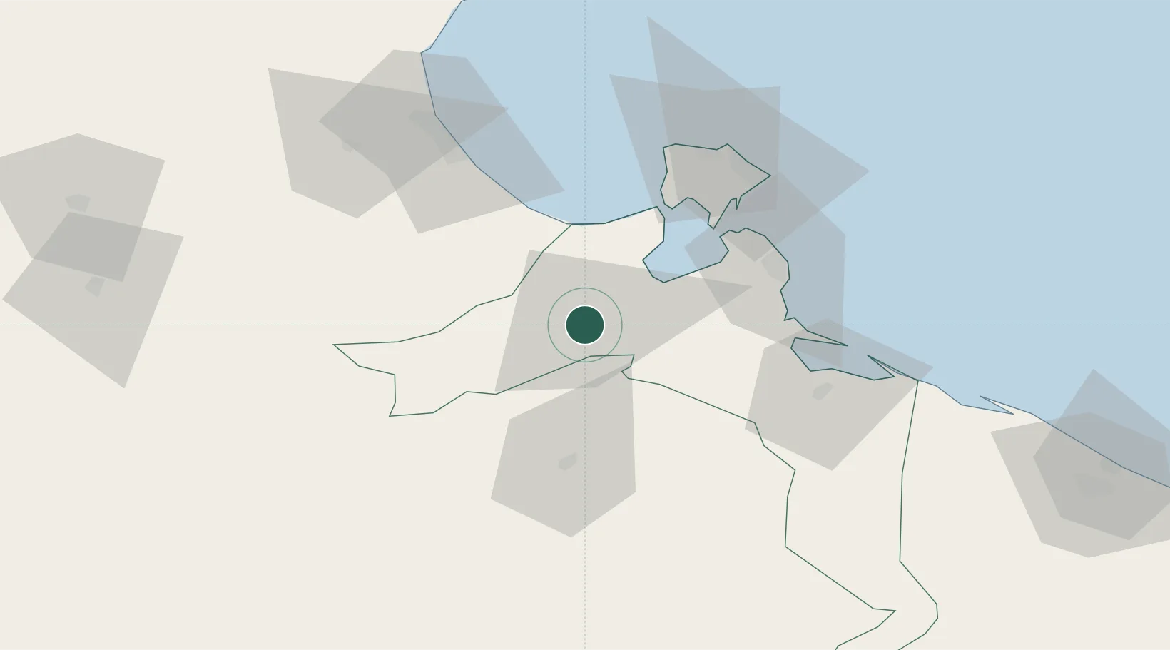
Nearby Logistics Neighbours

Cities
  1. 1Zarzis60 km
  2. 2Gabès69 km
  3. 3Mahires132 km
  4. 4Didon138 km
  5. 5Kebili147 km
Nearest neighbours — logibook spatial index (haversine) over the source coordinates
Ports
  1. 1Zarzis60 km
  2. 2Houmt Souk68 km
  3. 3Gabes71 km
  4. 4Skhira110 km
  5. 5Abu Khammash127 km
Nearest neighbours — logibook spatial index (haversine) over the source coordinates
Airports
  1. 1Djerba Zarzis International Airport64 km
  2. 2Gabès Matmata International Airport69 km
  3. 3Remada Air Base117 km
  4. 4Sfax Thyna International Airport153 km
  5. 5Okba Ibn Nafa Air Base163 km
Nearest neighbours — logibook spatial index (haversine) over the source coordinates
Trade Zones
  1. 1Zarzis Park of Economic Activities59 km
  2. 2Ben Guerdane Economic Free Zone101 km
  3. 3Zwara-Abu-Kemmash Free Trade Zone151 km
  4. 4Taminhent Free Zone163 km
  5. 5Bizerte Park of Economic Activities439 km
Nearest neighbours — logibook spatial index (haversine) over the source coordinates
DatabookThe Record of Consolidated Knowledge
Tunisia beyond logistics?
Browse databook

All Sources

LocationsUN/LOCODE
UN/LOCODE — free
LocationsGeoNames
CC BY 4.0
Portsthe NGA World Port Index
Public domain (US gov)
AirportsOurAirports
Public domain
Trade Zonesthe World Bank SEZ database
CC BY 4.0
Trade ZonesOpen Zone Map
CC BY
← Tunisia locations