Seaport · Tunisia

Houmt SoukTNDJE

33.8833°, 10.8500°
1.8 m
Channel depth

Channel & Berth Profile

SEA LEVEL (CD)CHANNEL BEDChannel · 1.8 mAnchorage · 4.9 m
NGA World Port Index

Facilities & Capabilities

Container
Ro-Ro
Liquid bulk
Dry bulk
Oil terminal
Break bulk
Dry dock
Repairs
Bunkering
Rail link
Dangerous cargo
ISPS security
NGA World Port Index

Harbour Specifications

Harbour size
Very Small
NGA World Port Index
Harbour type
Open Roadstead
NGA World Port Index
Water body
Mediterranean Sea; North Atlantic Ocean
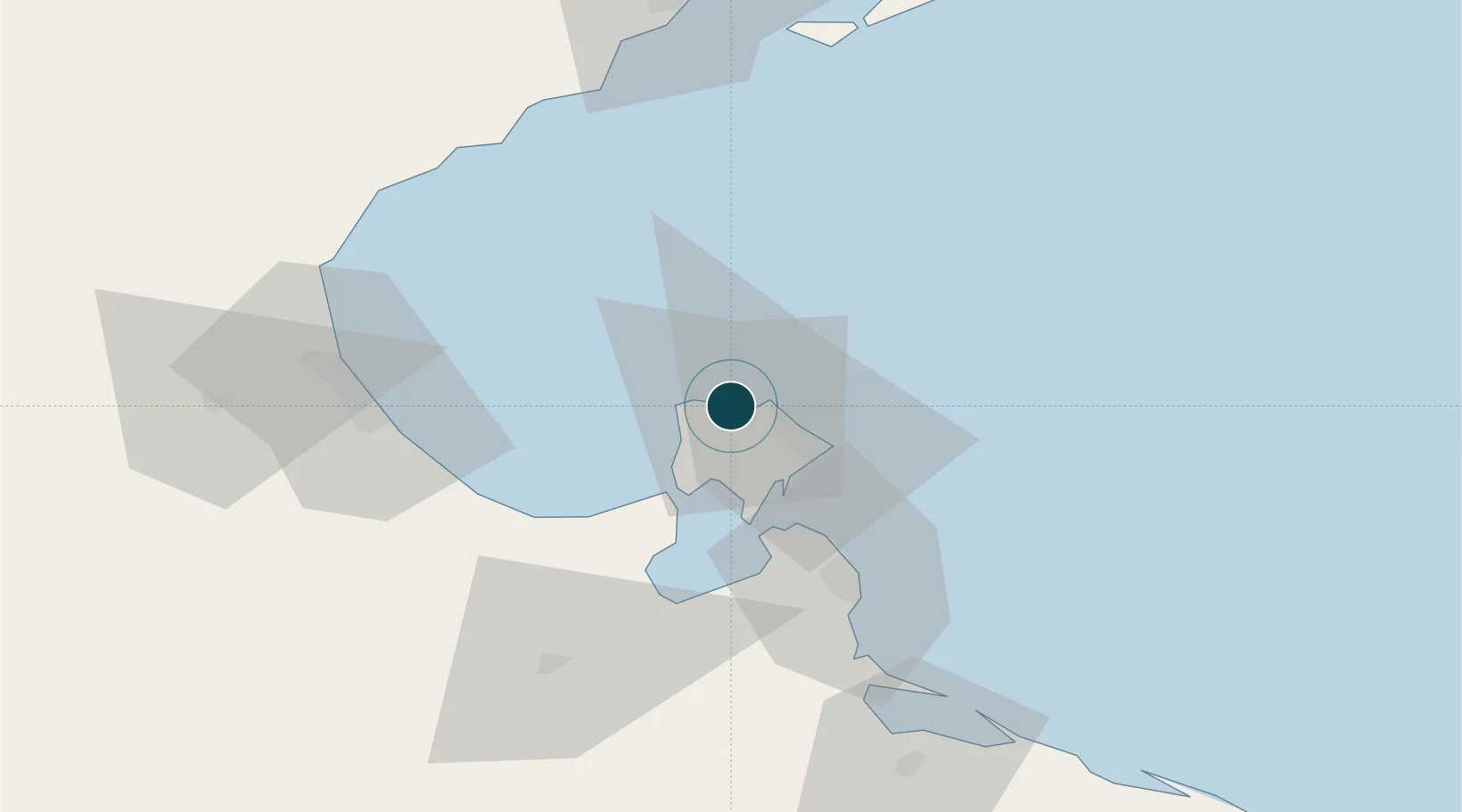
NGA World Port Index

Location

Location of TNDJE
Natural Earth 10m (public domain) · Médenine · TNDJE · 33.88, 10.85GoogleOSMYandex

Nearby Logistics Neighbours

Ports
  1. 1Zarzis49 km
  2. 2Ashtart Oil Terminal66 km
  3. 3Gabes68 km
  4. 4Skhira82 km
  5. 5Mersa Sfax95 km
Nearest neighbours — logibook spatial index (haversine) over the source coordinates
Cities
  1. 1Zarzis49 km
  2. 2Medenine68 km
  3. 3Gabès68 km
  4. 4Mahires79 km
  5. 5Sfax91 km
Nearest neighbours — logibook spatial index (haversine) over the source coordinates
Airports
  1. 1Djerba Zarzis International Airport7 km
  2. 2Gabès Matmata International Airport88 km
  3. 3Sfax Thyna International Airport94 km
  4. 4Remada Air Base181 km
  5. 5Okba Ibn Nafa Air Base185 km
Nearest neighbours — logibook spatial index (haversine) over the source coordinates
Trade Zones
  1. 1Zarzis Park of Economic Activities51 km
  2. 2Ben Guerdane Economic Free Zone105 km
  3. 3Zwara-Abu-Kemmash Free Trade Zone153 km
  4. 4Taminhent Free Zone184 km
  5. 5Bizerte Park of Economic Activities387 km
Nearest neighbours — logibook spatial index (haversine) over the source coordinates
DatabookThe Record of Consolidated Knowledge
Tunisia beyond logistics?
Browse databook

All Sources

Portsthe NGA World Port Index
Public domain (US gov)
AirportsOurAirports
Public domain
LocationsUN/LOCODE
UN/LOCODE — free
Trade Zonesthe World Bank SEZ database
CC BY 4.0
Trade ZonesOpen Zone Map
CC BY
← Tunisia ports