Channel & Berth Profile
Pilotage, Tugs & Services
Pilotage availableNO
Pilotage advisableYES
Local assistanceYES
Potable waterNO
Diesel bunkersNO
MedicalYES
Facilities & Capabilities
Container—
Ro-Ro—
Liquid bulk—
Dry bulk—
Oil terminal—
Break bulk—
Dry dock—
Repairs—
BunkeringNO
Rail link—
Dangerous cargo—
ISPS security—
Harbour Specifications
Harbour size
Very Small
Harbour type
River (Natural)
Shelter
Good
Water body
Andaman Sea; Indian Ocean
Overhead limit
No
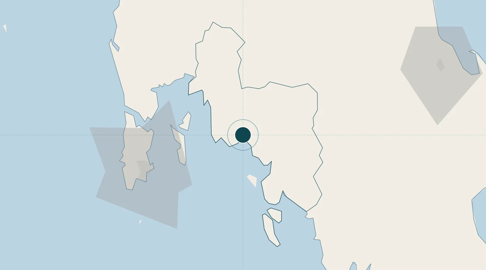
Location
Nearby Logistics Neighbours
Ports
- 1Phuket63 km
- 2Kantang Harbor99 km
- 3Khanom166 km
- 4Port Langkawi204 km
- 5Songkhla Harbor207 km
Cities
- 1Ko Lanta3 km
- 2Ko Yao40 km
- 3Phang-Nga58 km
- 4Phuket Port63 km
- 5Trang95 km
Airports
- 1Krabi International Airport9 km
- 2Phuket International Airport66 km
- 3Trang Airport99 km
- 4Surat Thani Airport121 km
- 5Cha Eian Airport123 km
DatabookThe Record of Consolidated Knowledge
Thailand beyond logistics?