Transport Functions
Port
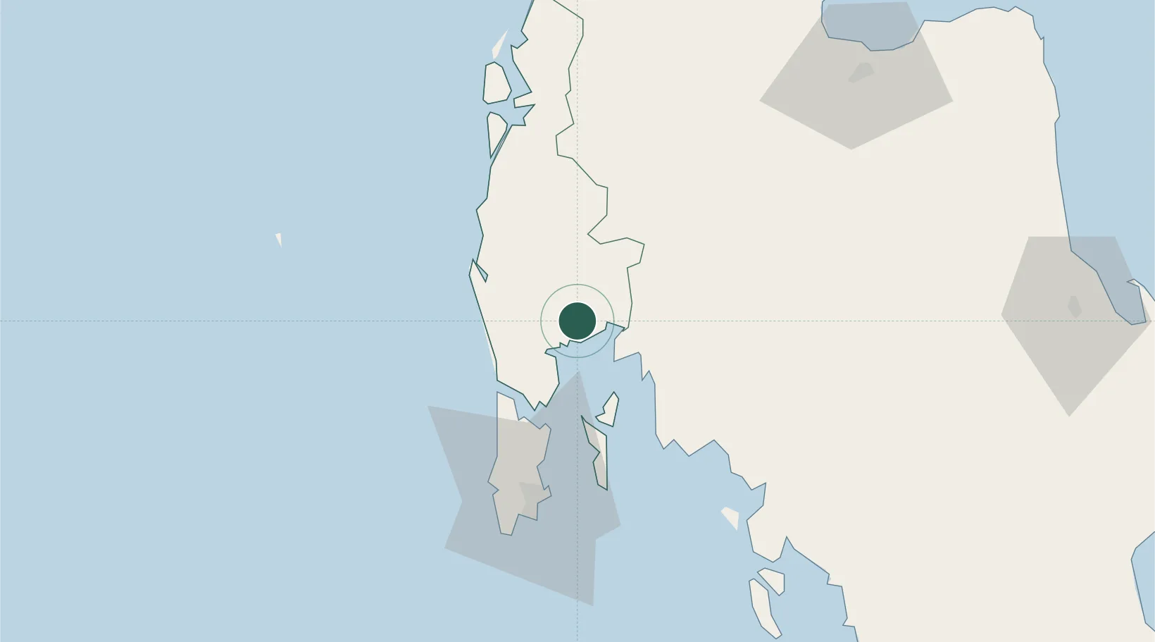
Hub Profile
Place type
Regional capital
Region
Phang Nga
Population
9,676
Time zone
Asia/Bangkok
Elevation
15 m
Location
Nearby Logistics Neighbours
Cities
- 1Krabi44 km
- 2Ban Talat Takua Pa51 km
- 3Ko Yao56 km
- 4Ko Lanta57 km
- 5Phuket Port66 km
Ports
- 1Krabi58 km
- 2Phuket64 km
- 3Kantang Harbor157 km
- 4Khanom176 km
- 5Port Langkawi259 km
Airports
- 1Phuket International Airport39 km
- 2Krabi International Airport62 km
- 3Surat Thani Airport106 km
- 4Ranong Airport153 km
- 5Trang Airport157 km
DatabookThe Record of Consolidated Knowledge
Thailand beyond logistics?