Large airport · Thailand
Phuket International AirportVTSP
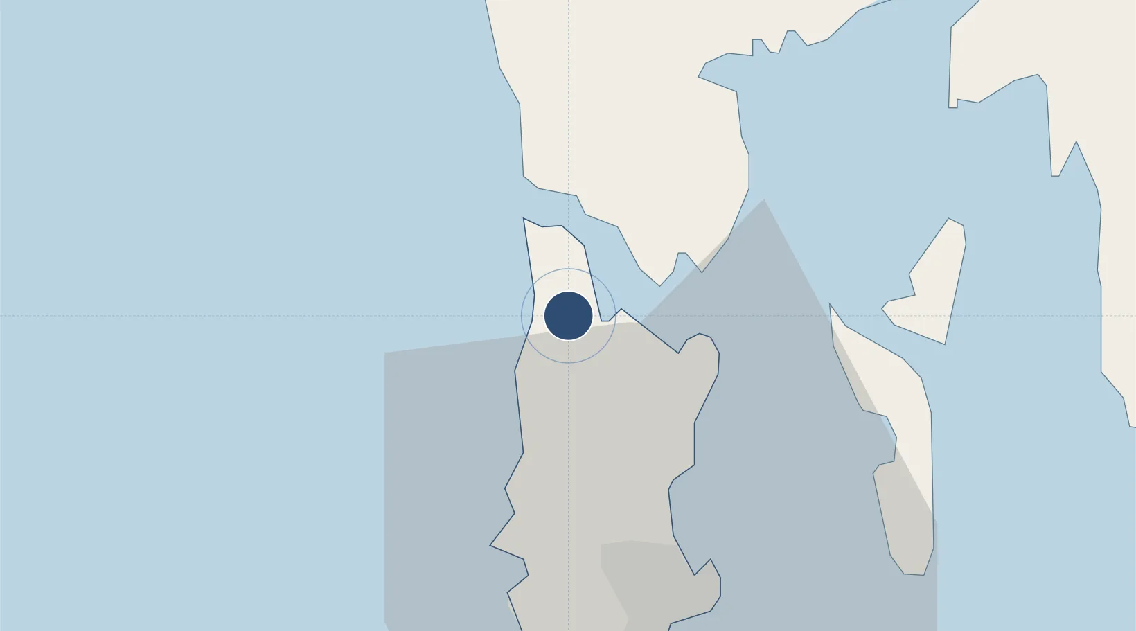
8.1133°, 98.3174°
10,171 ft
Longest runway
1
Runways
82 ft
Elevation
Runway & Layout

Radio Frequencies
ATIS
128 MHz
TWR
118.1 MHz
GND
121.9 MHz
APP
124.7 MHz
Navaids
PU NDB Phuket 360 kHz
PUT VOR-DME Phuket 116.90 MHz
Runways · 1
| Runway | Dimensions | Surface | True heading | Lit |
|---|---|---|---|---|
| 09/27 | 10,171 × 148ft | Asphalt | 085° | ✓ |
Airport Specifications
IATA code
HKT
ICAO code
VTSP
Airport class
Large airport
Scheduled service
Yes
Runway surface
Asphalt
Served city
Phuket
Location
Nearby Logistics Neighbours
Airports
- 1Krabi International Airport74 km
- 2Surat Thani Airport145 km
- 3Trang Airport158 km
- 4Cha Eian Airport185 km
- 5Nakhon Si Thammarat Airport185 km
Cities
- 1Phuket Port34 km
- 2Phang-Nga39 km
- 3Ko Yao39 km
- 4Krabi46 km
- 5Ko Lanta65 km
Ports
- 1Phuket32 km
- 2Krabi66 km
- 3Kantang Harbor154 km
- 4Khanom212 km
- 5Port Langkawi246 km
DatabookThe Record of Consolidated Knowledge
Thailand beyond logistics?