Medium airport · Thailand
Cha Eian AirportVTSN
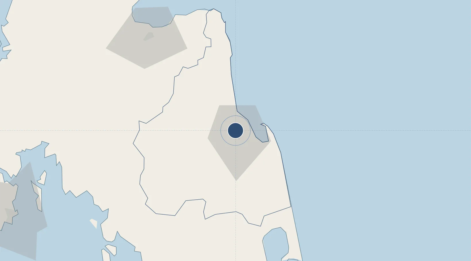
8.4711°, 99.9556°
7,546 ft
Longest runway
1
Runways
44 ft
Elevation
Runway & Layout

Radio Frequencies
TWR
122.7 MHz
RDO
657.7 MHz
Navaids
NS NDB Cha Ian 345 kHz
Runways · 1
| Runway | Dimensions | Surface | True heading | Lit |
|---|---|---|---|---|
| 18/36 | 7,546 × 148ft | Asphalt | 173° | — |
Airport Specifications
ICAO code
VTSN
Airport class
Medium airport
Scheduled service
No
Runway surface
Asphalt
Served city
Nakhon Si Thammarat
Location
Nearby Logistics Neighbours
Airports
- 1Nakhon Si Thammarat Airport8 km
- 2Trang Airport113 km
- 3Krabi International Airport114 km
- 4Surat Thani Airport116 km
- 5Samui International Airport120 km
Cities
- 1Tha Sala22 km
- 2Sichon61 km
- 3Khanom81 km
- 4Pak Phanang81 km
- 5Nakhon Si Thammarat85 km
Ports
- 1Khanom81 km
- 2Krabi123 km
- 3Kantang Harbor129 km
- 4Songkhla Harbor156 km
- 5Erawan Terminal168 km
DatabookThe Record of Consolidated Knowledge
Thailand beyond logistics?