Large airport · Thailand
Krabi International AirportVTSG
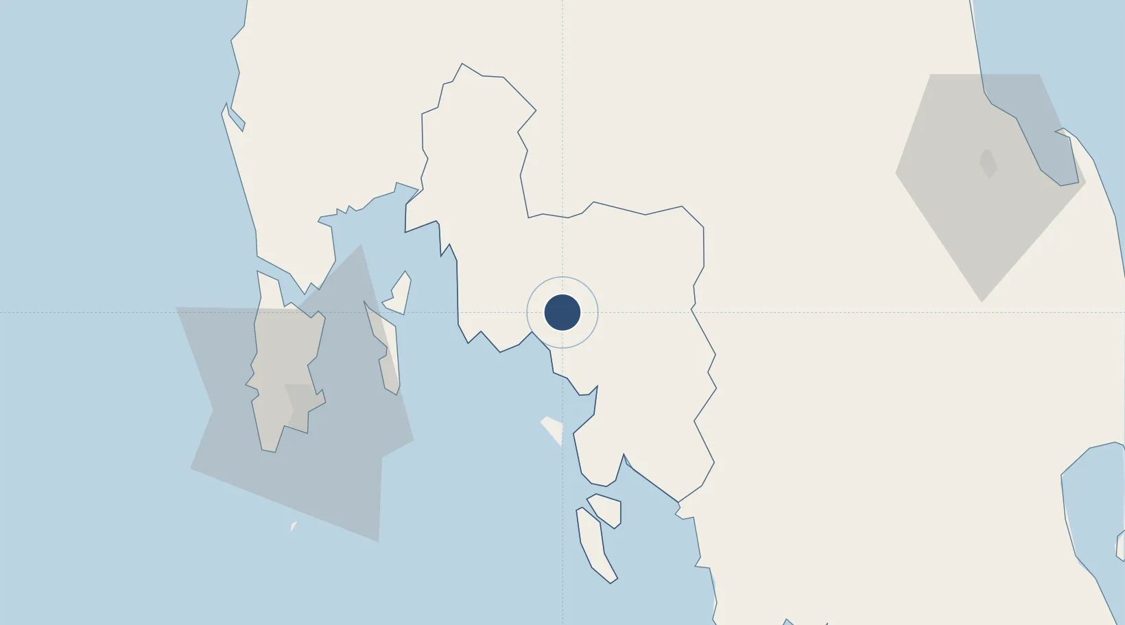
8.0956°, 98.9890°
9,842 ft
Longest runway
1
Runways
82 ft
Elevation
Runway & Layout

Radio Frequencies
ATIS
29.9 MHz
TWR
118.6 MHz
GND
121.9 MHz
APP
120.05 MHz
Navaids
KB NDB Krabi 299 kHz
KBI VOR-DME Krabi 111.00 MHz
Runways · 1
| Runway | Dimensions | Surface | True heading | Lit |
|---|---|---|---|---|
| 14/32 | 9,842 × 148ft | Asphalt | 141° | ✓ |
Airport Specifications
IATA code
KBV
ICAO code
VTSG
Airport class
Large airport
Scheduled service
Yes
Runway surface
Asphalt
Served city
Krabi
Location
Nearby Logistics Neighbours
Airports
- 1Phuket International Airport74 km
- 2Trang Airport95 km
- 3Cha Eian Airport114 km
- 4Nakhon Si Thammarat Airport116 km
- 5Surat Thani Airport116 km
Cities
- 1Ko Lanta11 km
- 2Krabi28 km
- 3Ko Yao48 km
- 4Phang-Nga62 km
- 5Phuket Port72 km
Ports
- 1Krabi9 km
- 2Phuket71 km
- 3Kantang Harbor97 km
- 4Khanom159 km
- 5Songkhla Harbor201 km
DatabookThe Record of Consolidated Knowledge
Thailand beyond logistics?