Transport Functions
Port
Hub Profile
Place type
Provincial seat
Region
Phang Nga
Time zone
Asia/Bangkok
Elevation
16 m
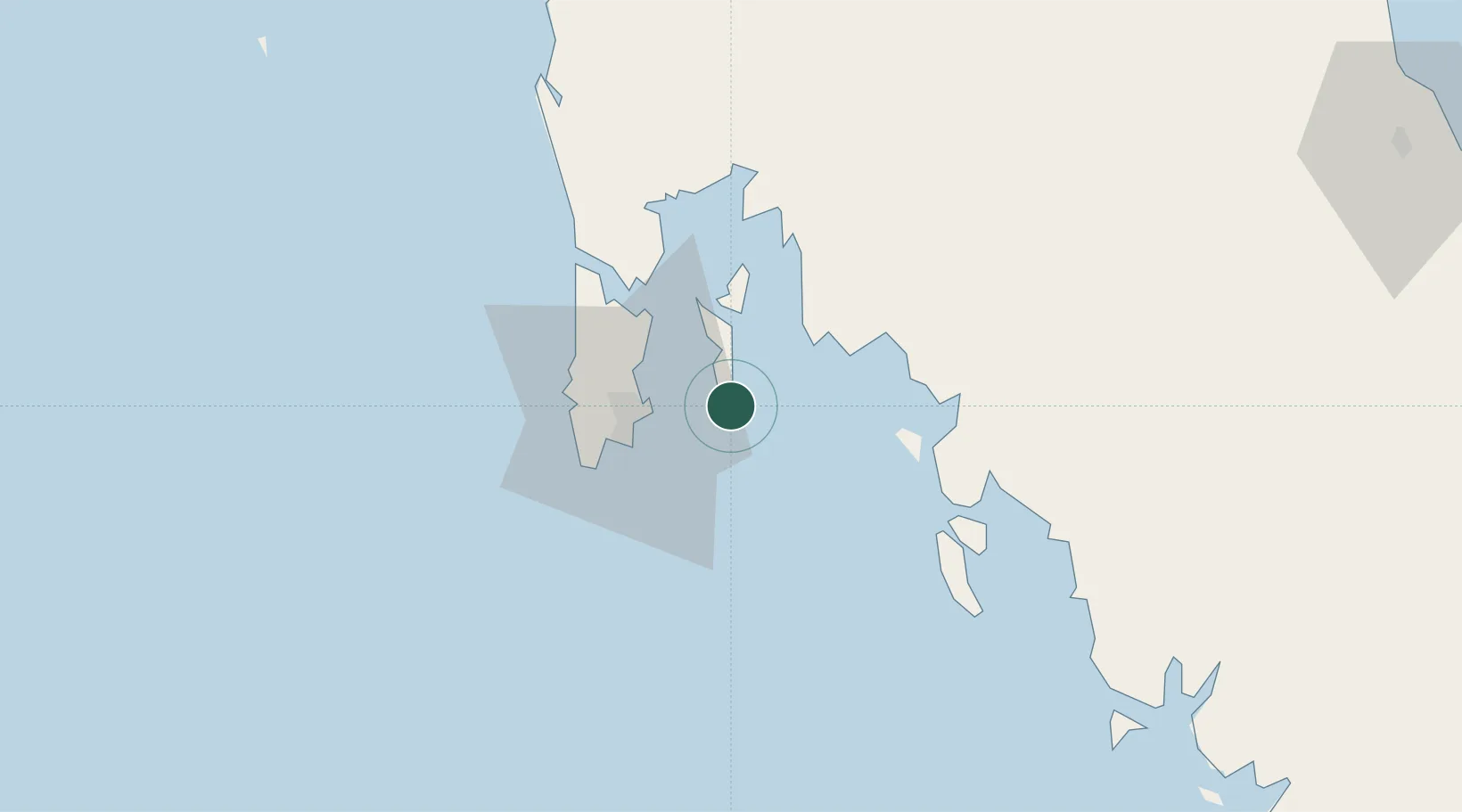
Location
Nearby Logistics Neighbours
Cities
- 1Krabi24 km
- 2Phuket Port24 km
- 3Ko Lanta37 km
- 4Phang-Nga56 km
- 5Ban Talat Takua Pa107 km
Ports
- 1Phuket23 km
- 2Krabi40 km
- 3Kantang Harbor115 km
- 4Khanom203 km
- 5Port Langkawi208 km
Airports
- 1Phuket International Airport39 km
- 2Krabi International Airport48 km
- 3Trang Airport120 km
- 4Surat Thani Airport149 km
- 5Cha Eian Airport162 km
DatabookThe Record of Consolidated Knowledge
Thailand beyond logistics?