Transport Functions
Port
Hub Profile
Place type
Regional capital
Region
Krabi
Population
31,219
Time zone
Asia/Bangkok
Elevation
14 m
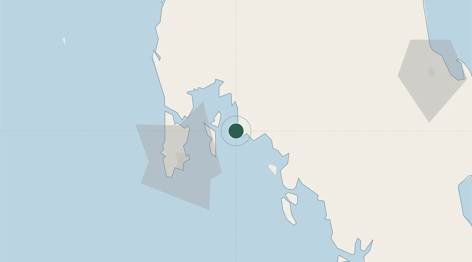
Location
Nearby Logistics Neighbours
Cities
- 1Ko Lanta18 km
- 2Ko Yao24 km
- 3Phang-Nga44 km
- 4Phuket Port46 km
- 5Ban Talat Takua Pa94 km
Ports
- 1Phuket45 km
- 2Kantang Harbor114 km
- 3Khanom180 km
- 4Port Langkawi214 km
- 5Songkhla Harbor225 km
Airports
- 1Krabi International Airport28 km
- 2Phuket International Airport46 km
- 3Trang Airport115 km
- 4Surat Thani Airport127 km
- 5Cha Eian Airport142 km
DatabookThe Record of Consolidated Knowledge
Thailand beyond logistics?