Transport Functions
Port
Hub Profile
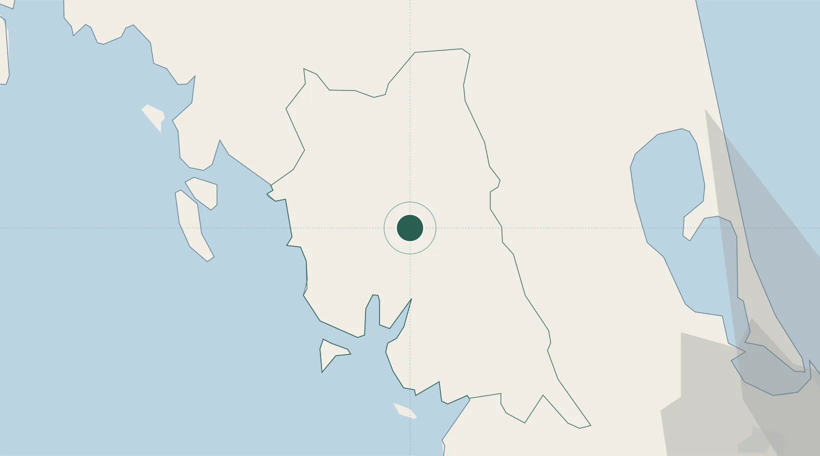
Place type
Regional capital
Region
Trang
Population
66,713
Time zone
Asia/Bangkok
Elevation
27 m
Location
Nearby Logistics Neighbours
Cities
- 1Ban Kantang19 km
- 2Kantang19 km
- 3Pakbara77 km
- 4Ko Lanta95 km
- 5Krabi111 km
Ports
- 1Kantang Harbor19 km
- 2Krabi95 km
- 3Songkhla Harbor115 km
- 4Port Langkawi126 km
- 5Phuket136 km
Airports
- 1Trang Airport5 km
- 2Krabi International Airport91 km
- 3Cha Eian Airport110 km
- 4Hat Yai International Airport111 km
- 5Nakhon Si Thammarat Airport116 km
DatabookThe Record of Consolidated Knowledge
Thailand beyond logistics?