Channel & Berth Profile
Pilotage, Tugs & Services
Pilotage compulsoryNO
Pilotage availableYES
Local assistanceYES
Tug assistanceYES
Facilities & Capabilities
Container—
Ro-Ro—
Liquid bulk—
Dry bulk—
Oil terminal—
Break bulk—
Dry dock—
RepairsNO
Bunkering—
Rail link—
Dangerous cargo—
ISPS security—
Harbour Specifications
Harbour size
Very Small
Harbour type
Coastal (Natural)
Shelter
Fair
Water body
Gulf of Thailand; South China Sea; North Pacific Ocean
Pilotage
No
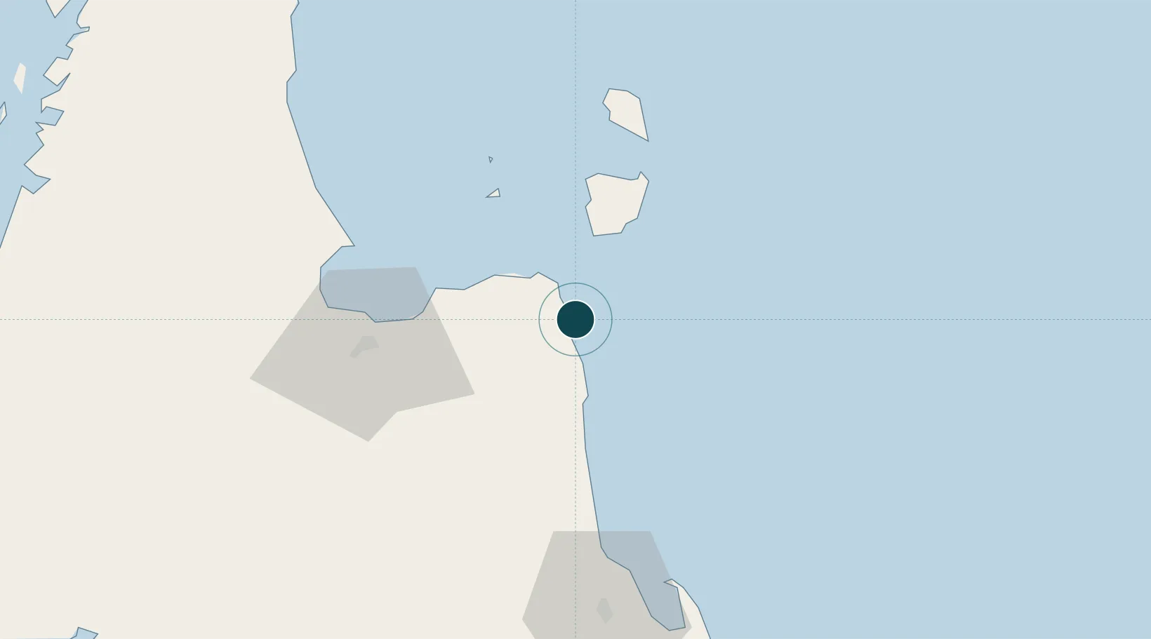
Location
Nearby Logistics Neighbours
Ports
- 1Erawan Terminal160 km
- 2Krabi166 km
- 3Tantawan Marine Terminal193 km
- 4Kantang Harbor205 km
- 5Benchamas Terminal208 km
Cities
- 1Pak Phanang2 km
- 2Nakhon Si Thammarat5 km
- 3Sichon21 km
- 4Ko Samui37 km
- 5Ban Don59 km
Airports
- 1Samui International Airport43 km
- 2Nakhon Si Thammarat Airport74 km
- 3Cha Eian Airport81 km
- 4Surat Thani Airport84 km
- 5Ranong Airport158 km
DatabookThe Record of Consolidated Knowledge
Thailand beyond logistics?