Transport Functions
Port
Hub Profile
Place type
Populated place
Region
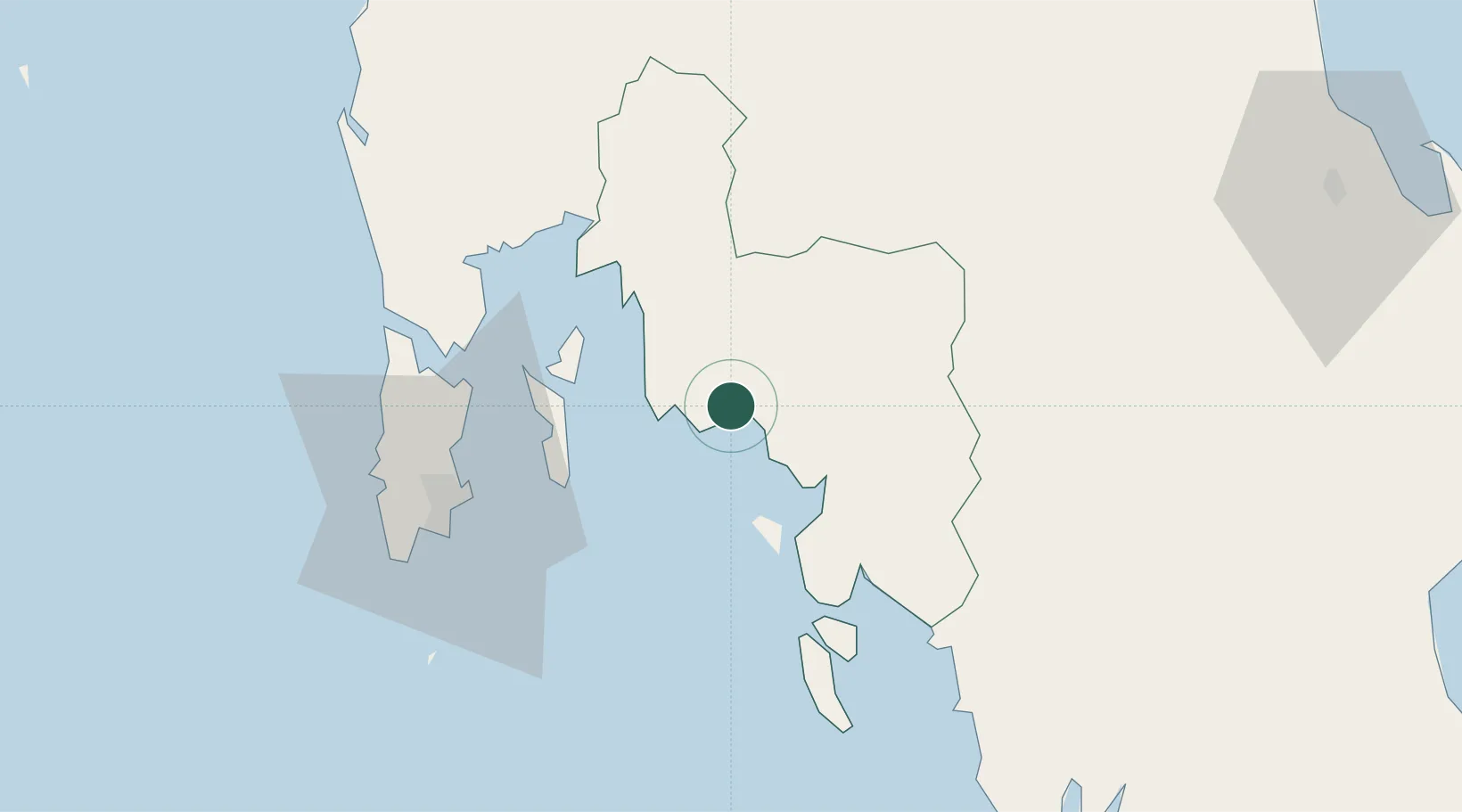
Krabi
Population
6,090
Time zone
Asia/Bangkok
Elevation
51 m
Location
Nearby Logistics Neighbours
Cities
- 1Krabi18 km
- 2Ko Yao37 km
- 3Phang-Nga57 km
- 4Phuket Port61 km
- 5Trang95 km
Ports
- 1Krabi3 km
- 2Phuket60 km
- 3Kantang Harbor99 km
- 4Khanom169 km
- 5Port Langkawi204 km
Airports
- 1Krabi International Airport11 km
- 2Phuket International Airport65 km
- 3Trang Airport99 km
- 4Surat Thani Airport123 km
- 5Cha Eian Airport125 km
DatabookThe Record of Consolidated Knowledge
Thailand beyond logistics?