Transport Functions
Port
Rail
Road
Hub Profile
Place type
Provincial seat
Region
Trang
Population
14,156
Time zone
Asia/Bangkok
Elevation
11 m
Logistics facilities
2
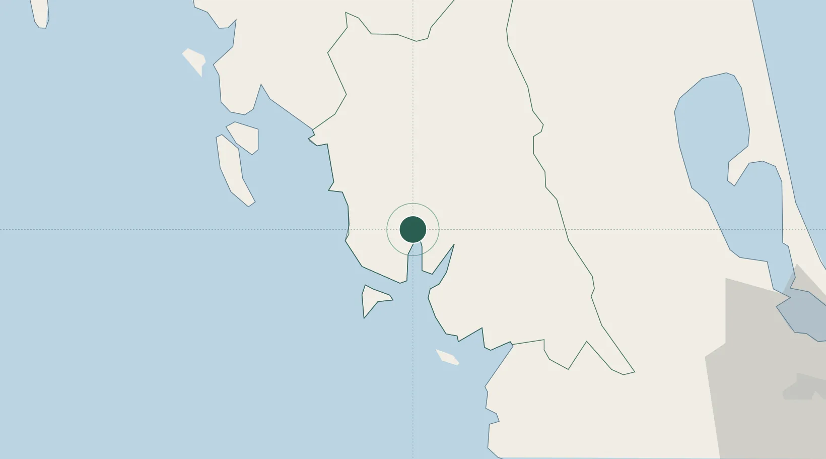
Location
Nearby Logistics Neighbours
Cities
- 1Ban Kantang1 km
- 2Trang19 km
- 3Pakbara65 km
- 4Ko Lanta97 km
- 5Satun108 km
Ports
- 1Krabi97 km
- 2Port Langkawi113 km
- 3Songkhla Harbor121 km
- 4Phuket130 km
- 5Khanom204 km
Airports
- 1Trang Airport17 km
- 2Krabi International Airport95 km
- 3Hat Yai International Airport112 km
- 4Langkawi International Airport123 km
- 5Songkhla Airport124 km
DatabookThe Record of Consolidated Knowledge
Thailand beyond logistics?