UN/LOCODE hub · Thailand
THPKB

Pakbara

6.8667°, 99.7167°
1
Transport functions

Transport Functions

Port
UN/LOCODE

Hub Profile

Region
91
GeoNames

Location

Location of THPKB
Natural Earth 10m (public domain) · 91 · THPKB · 6.87, 99.72GoogleOSMYandex

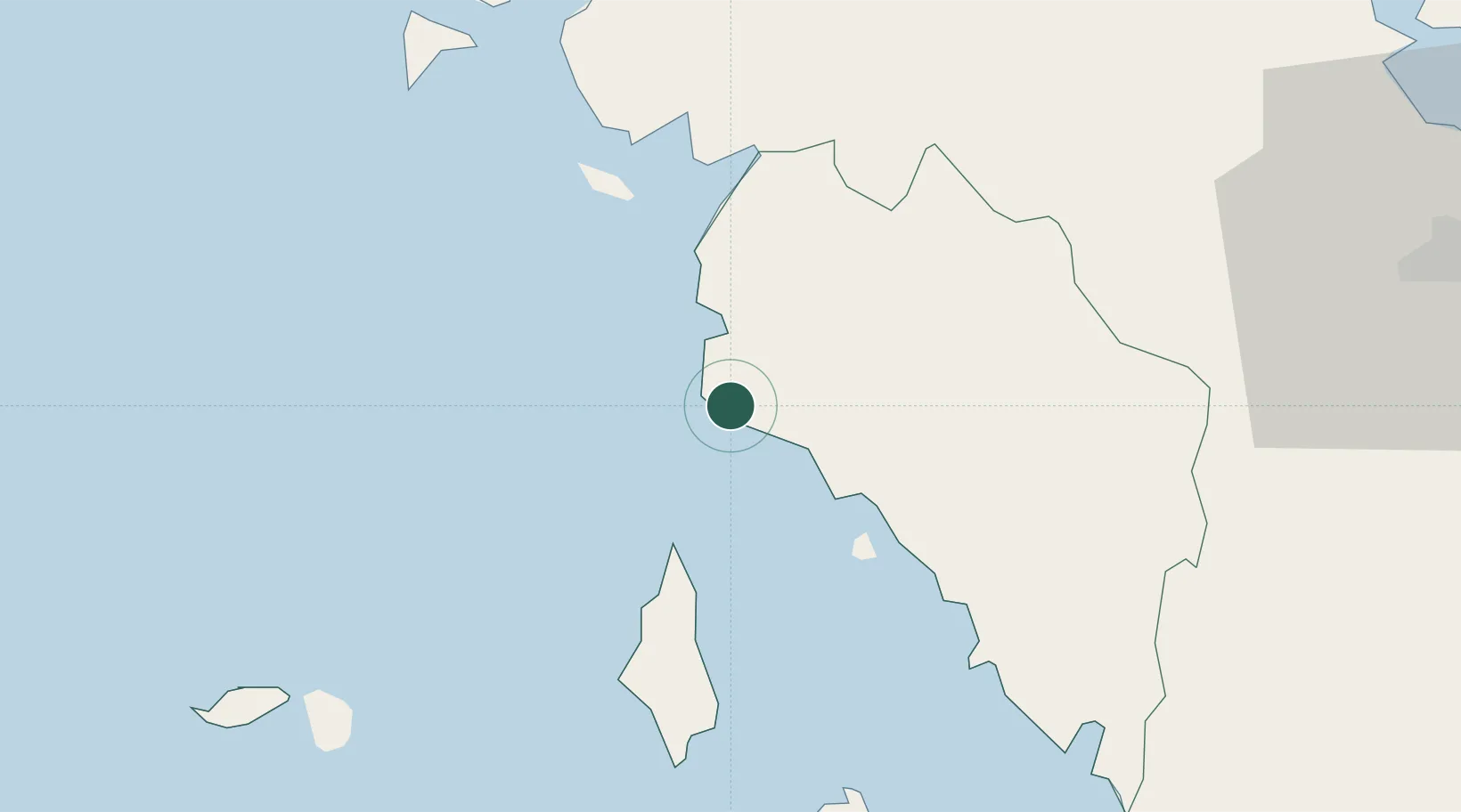
Nearby Logistics Neighbours

Cities
  1. 1Satun48 km
  2. 2Langkawi56 km
  3. 3Kantang65 km
  4. 4Tanjung Lembung65 km
  5. 5Ban Kantang66 km
Nearest neighbours — logibook spatial index (haversine) over the source coordinates
Ports
  1. 1Port Langkawi49 km
  2. 2Kantang Harbor63 km
  3. 3Songkhla Harbor103 km
  4. 4Krabi160 km
  5. 5Pattani175 km
Nearest neighbours — logibook spatial index (haversine) over the source coordinates
Airports
  1. 1Langkawi International Airport60 km
  2. 2Trang Airport72 km
  3. 3Hat Yai International Airport75 km
  4. 4Songkhla Airport105 km
  5. 5Sultan Abdul Halim Airport107 km
Nearest neighbours — logibook spatial index (haversine) over the source coordinates
DatabookThe Record of Consolidated Knowledge
Thailand beyond logistics?
Browse databook

All Sources

LocationsUN/LOCODE
UN/LOCODE — free
Portsthe NGA World Port Index
Public domain (US gov)
AirportsOurAirports
Public domain
Trade Zonesthe World Bank SEZ database
CC BY 4.0
Trade ZonesOpen Zone Map
CC BY
← Thailand locations