UN/LOCODE hub · Thailand
THBNK

Ban Kantang

7.4167°, 99.5000°
2
Transport functions

Transport Functions

Port
Road
UN/LOCODE

Hub Profile

Region
92
GeoNames

Location

Location of THBNK
Natural Earth 10m (public domain) · 92 · THBNK · 7.42, 99.50GoogleOSMYandex

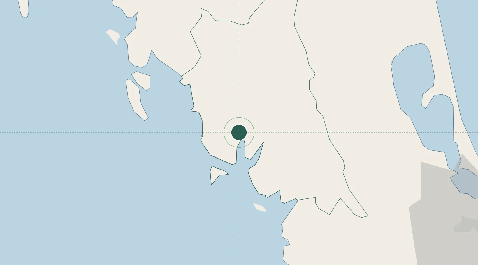
Nearby Logistics Neighbours

Cities
  1. 1Kantang1 km
  2. 2Trang19 km
  3. 3Pakbara66 km
  4. 4Ko Lanta97 km
  5. 5Satun109 km
Nearest neighbours — logibook spatial index (haversine) over the source coordinates
Ports
  1. 1Kantang Harbor3 km
  2. 2Krabi97 km
  3. 3Port Langkawi113 km
  4. 4Songkhla Harbor122 km
  5. 5Phuket130 km
Nearest neighbours — logibook spatial index (haversine) over the source coordinates
Airports
  1. 1Trang Airport16 km
  2. 2Krabi International Airport94 km
  3. 3Hat Yai International Airport112 km
  4. 4Langkawi International Airport124 km
  5. 5Songkhla Airport125 km
Nearest neighbours — logibook spatial index (haversine) over the source coordinates
DatabookThe Record of Consolidated Knowledge
Thailand beyond logistics?
Browse databook

All Sources

LocationsUN/LOCODE
UN/LOCODE — free
Portsthe NGA World Port Index
Public domain (US gov)
AirportsOurAirports
Public domain
Trade Zonesthe World Bank SEZ database
CC BY 4.0
Trade ZonesOpen Zone Map
CC BY
← Thailand locations