Free Trade Zone · Dominican Republic

Gregorio Luperón International Airport (Puerto Plata Airport) Active
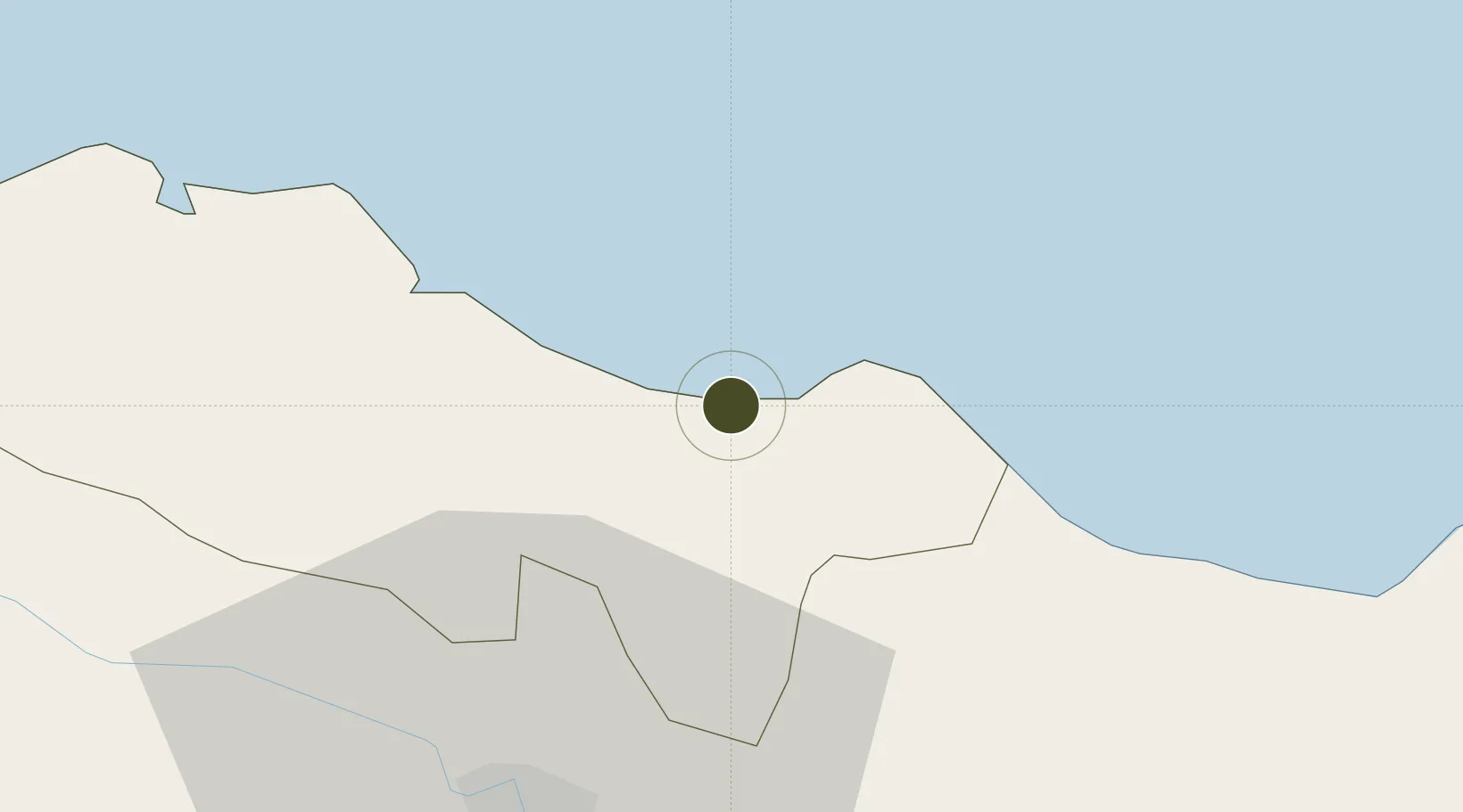
19.7552°, -70.5658°
44 ha
Zone area
14.9 km
Nearest port
0.5 km
Nearest airport

Gateway access

Nearest neighbours — logibook spatial index (haversine) over the source coordinates

Zone profile

Zone type
Free Trade Zone
Open Zone Map
Region
Puerto Plata
Open Zone Map
Status
Active
Open Zone Map
Management
Private
Open Zone Map
Operator
AERODOM
Open Zone Map
Legal framework
Law 8-90, Amended in December 2007
Open Zone Map

Location

Location of ozm-1830
Natural Earth 10m (public domain) · Puerto Plata · ozm-1830 · 19.76, -70.57GoogleOSMYandex

Nearby Logistics Neighbours

Ports
  1. 1Puerto Plata15 km
  2. 2Amber Cove23 km
  3. 3Sanchez115 km
  4. 4Manzanillo124 km
  5. 5Pepillo Salcedo124 km
Nearest neighbours — logibook spatial index (haversine) over the source coordinates
Airports
  1. 1Gregorio Luperon International Airport1 km
  2. 2Cibao International Airport39 km
  3. 3Samaná El Catey International Airport102 km
  4. 4La Isabela International Airport145 km
  5. 5San Isidro Air Base163 km
Nearest neighbours — logibook spatial index (haversine) over the source coordinates
Cities
  1. 1Villa Gonzalez34 km
  2. 2Licey35 km
  3. 3Hato del Yaque38 km
  4. 4Moca42 km
  5. 5Luperon43 km
Nearest neighbours — logibook spatial index (haversine) over the source coordinates
Trade Zones
  1. 1Puerto Plata Industrial Free Zone17 km
  2. 2Zona Franca Bahia de Maimon18 km
  3. 3Zona Franca Palmar Abajo31 km
  4. 4Tamboril Industrial Free Zone31 km
  5. 5Zona Franca Industrial de Palmarejo34 km
Nearest neighbours — logibook spatial index (haversine) over the source coordinates
DatabookThe Record of Consolidated Knowledge
Dominican Republic beyond logistics?
Browse databook

All Sources

Trade ZonesOpen Zone Map
CC BY
Portsthe NGA World Port Index
Public domain (US gov)
AirportsOurAirports
Public domain
LocationsUN/LOCODE
UN/LOCODE — free
← Dominican Republic trade zones