UN/LOCODE hub · Guyana
GYROS

Rosignol

6.2833°, -57.5333°
5,782
Population
1
Transport functions

Transport Functions

Multimodal
UN/LOCODE

Hub Profile

Place type
Populated place
GeoNames
Region
Mahaica-Berbice
GeoNames
Population
5,782
GeoNames
Time zone
America/Guyana
GeoNames
Elevation
3 m
GeoNames

Location

Location of GYROS
Natural Earth 10m (public domain) · Mahaica-Berbice · GYROS · 6.28, -57.53GoogleOSMYandex

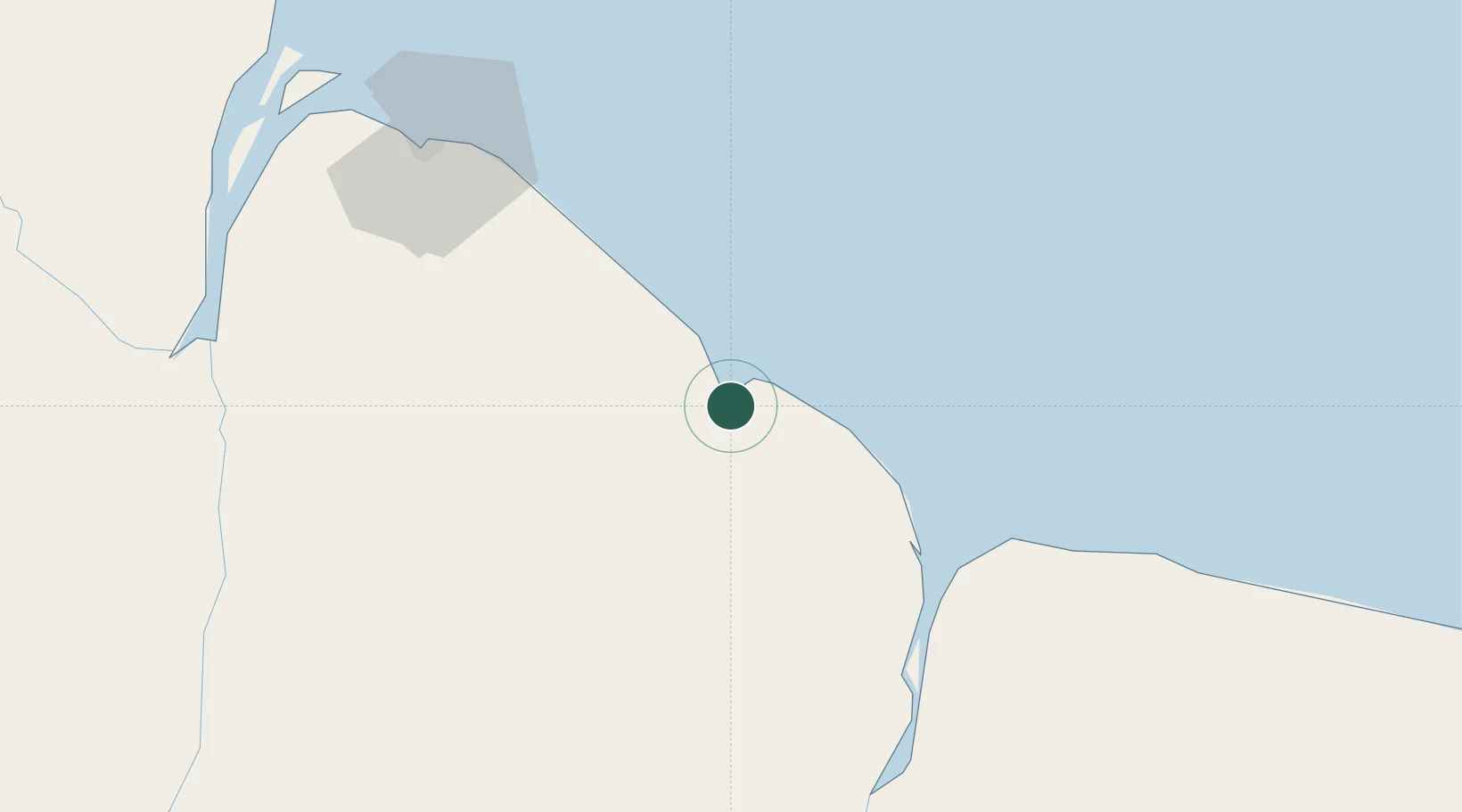
Nearby Logistics Neighbours

Cities
  1. 1Bartica57 km
  2. 2Agricola Village73 km
  3. 3Linden89 km
  4. 4Mackenzie89 km
  5. 5Georgetown90 km
Nearest neighbours — logibook spatial index (haversine) over the source coordinates
Ports
  1. 1New Amsterdam4 km
  2. 2Nieuw Nickerie70 km
  3. 3Linden90 km
  4. 4Georgetown93 km
  5. 5Paramaribo266 km
Nearest neighbours — logibook spatial index (haversine) over the source coordinates
Airports
  1. 1Cheddi Jagan International Airport83 km
  2. 2Eugene F. Correia International Airport86 km
  3. 3Wageningen Airstrip107 km
  4. 4Kaieteur Airport249 km
  5. 5Eduard Alexander Gummels Airport263 km
Nearest neighbours — logibook spatial index (haversine) over the source coordinates
Trade Zones
  1. 1Coldingen Industrial Estate77 km
  2. 2Eccles Industrial Estate88 km
  3. 3Ruimveldt Industrial Estate90 km
  4. 4Lethem Industrial Estate408 km
  5. 5Free Port of Santa Elena de Uairén438 km
Nearest neighbours — logibook spatial index (haversine) over the source coordinates
DatabookThe Record of Consolidated Knowledge
Guyana beyond logistics?
Browse databook

All Sources

LocationsUN/LOCODE
UN/LOCODE — free
LocationsGeoNames
CC BY 4.0
Portsthe NGA World Port Index
Public domain (US gov)
AirportsOurAirports
Public domain
Trade Zonesthe World Bank SEZ database
CC BY 4.0
Trade ZonesOpen Zone Map
CC BY
← Guyana locations