Large airport · Saudi Arabia

King Abdulaziz International AirportOEJN
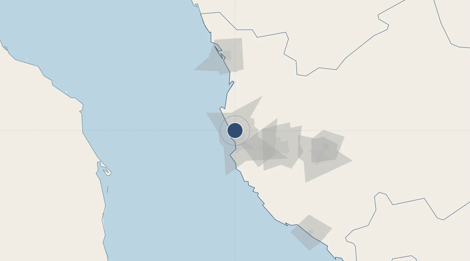
21.6802°, 39.1574°
13,123 ft
Longest runway
3
Runways
48 ft
Elevation

Runway & Layout

King Abdulaziz International Airport runway & taxiway layout
Runway & taxiway layout — OpenStreetMap (ODbL) / OurAirports

Radio Frequencies

ATIS
126.2 MHz
TWR
118.2 MHz
JEDDAH TWR
TWR
124.3 MHz
JEDDAH TWR
GND
121.6 MHz
JEDDAH Ground
GND
121.7 MHz
JEDDAH TWR
GND
121.9 MHz
JEDDAH Ground
CLD
121.8 MHz
JEDDAH CLNC
APP
119.1 MHz
JEDDAH APP
APP
123.8 MHz
JEDDAH DIR APP
APP
124 MHz
JEDDAH APP
OurAirports

Navaids

JDW VORTAC King Abdulaziz 115.30 MHz
OurAirports

Runways · 3

RunwayDimensions SurfaceTrue headingLit
16C/34C 13,123 × 197ft Asphalt 160°
16L/34R 13,123 × 197ft Asphalt 160°
16R/34L 12,467 × 197ft Asphalt 160°
OurAirports

Airport Specifications

IATA code
JED
OurAirports
ICAO code
OEJN
OurAirports
Airport class
Large airport
OurAirports
Scheduled service
Yes
OurAirports
Runway surface
Asphalt
OurAirports
Served city
Jeddah
OurAirports

Location

Location of OEJN
Natural Earth 10m (public domain) · Makkah · OEJN · 21.68, 39.16GoogleOSMYandex

Nearby Logistics Neighbours

Airports
  1. 1King Faisal Naval Base37 km
  2. 2Mecca East Airport91 km
  3. 3Taif International Airport145 km
  4. 4Prince Abdulmohsen Bin Abdulaziz International Airport296 km
  5. 5King Saud Bin Abdulaziz (Al Baha) Airport300 km
Nearest neighbours — logibook spatial index (haversine) over the source coordinates
Cities
  1. 1Jeddah Yachts Club Port7 km
  2. 2Tusdeer Free Zone22 km
  3. 3Jeddah35 km
  4. 4King Abdullah City88 km
  5. 5Shuaibah117 km
Nearest neighbours — logibook spatial index (haversine) over the source coordinates
Ports
  1. 1Jiddah22 km
  2. 2Rabigh119 km
  3. 3Yanbu290 km
  4. 4Port Sudan306 km
  5. 5Sawakin Harbor340 km
Nearest neighbours — logibook spatial index (haversine) over the source coordinates
Trade Zones
  1. 1Jeddah Modon Oasis28 km
  2. 2Jeddah Industrial City (First)28 km
  3. 3Jeddah Industrial City (Second)64 km
  4. 4Jeddah Industrial City (Third)66 km
  5. 5Makkah Industrial City69 km
Nearest neighbours — logibook spatial index (haversine) over the source coordinates
DatabookThe Record of Consolidated Knowledge
Saudi Arabia beyond logistics?
Browse databook

All Sources

AirportsOurAirports
Public domain
Portsthe NGA World Port Index
Public domain (US gov)
LocationsUN/LOCODE
UN/LOCODE — free
Trade Zonesthe World Bank SEZ database
CC BY 4.0
Trade ZonesOpen Zone Map
CC BY
InfrastructureOpenStreetMap
ODbL 1.0
← Saudi Arabia airports