UN/LOCODE hub · Saudi Arabia
SATFZ

Tusdeer Free Zone

21.4833°, 39.1500°
1
Transport functions

Transport Functions

Multimodal
UN/LOCODE

Location

Location of SATFZ
Natural Earth 10m (public domain) · Makkah · SATFZ · 21.48, 39.15GoogleOSMYandex

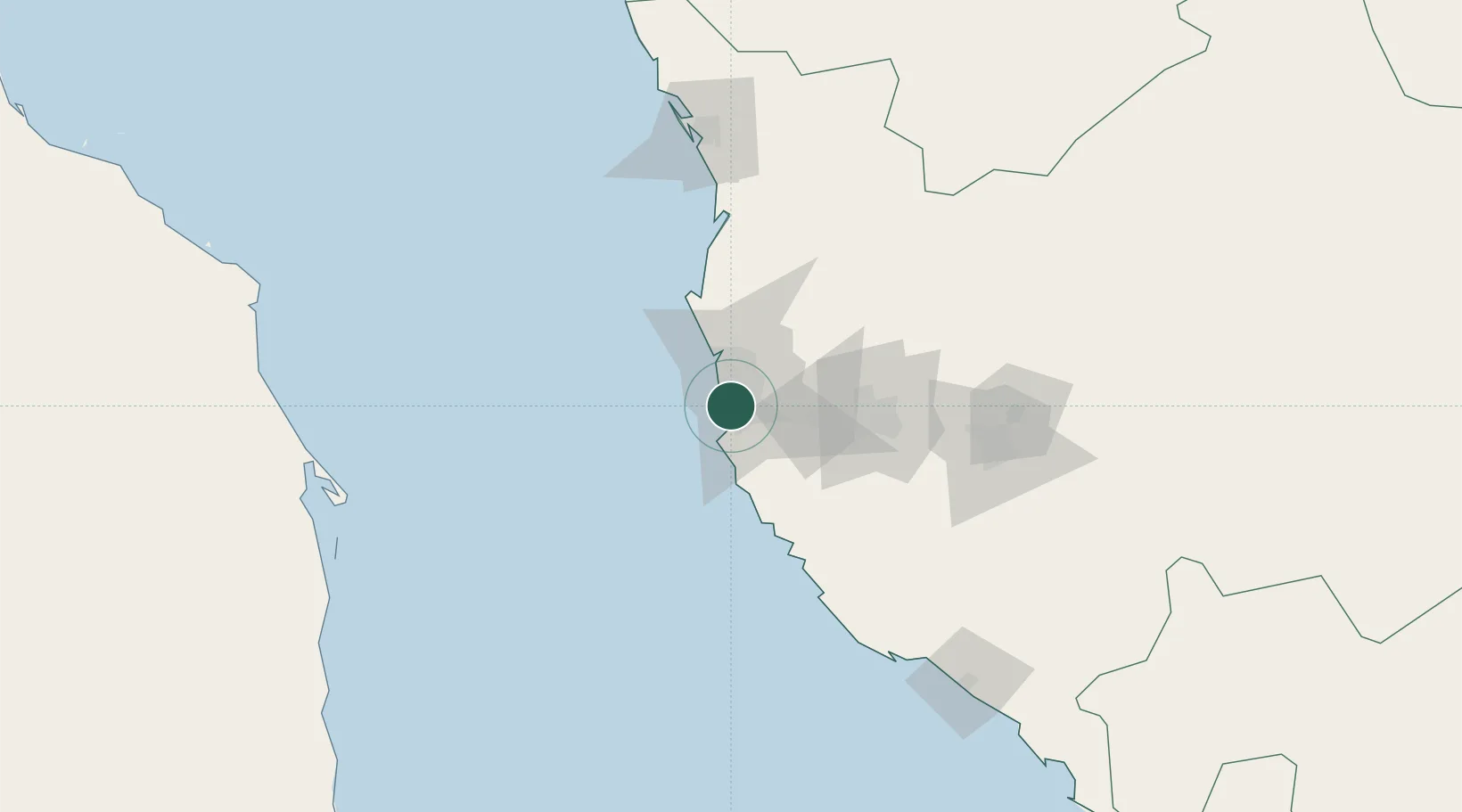
Nearby Logistics Neighbours

Cities
  1. 1Jeddah14 km
  2. 2Jeddah Yachts Club Port19 km
  3. 3Shuaibah97 km
  4. 4King Abdullah City110 km
  5. 5Gialtra162 km
Nearest neighbours — logibook spatial index (haversine) over the source coordinates
Ports
  1. 1Jiddah3 km
  2. 2Rabigh140 km
  3. 3Port Sudan289 km
  4. 4Yanbu310 km
  5. 5Sawakin Harbor322 km
Nearest neighbours — logibook spatial index (haversine) over the source coordinates
Airports
  1. 1King Faisal Naval Base15 km
  2. 2King Abdulaziz International Airport22 km
  3. 3Mecca East Airport88 km
  4. 4Taif International Airport144 km
  5. 5King Saud Bin Abdulaziz (Al Baha) Airport290 km
Nearest neighbours — logibook spatial index (haversine) over the source coordinates
Trade Zones
  1. 1Jeddah Industrial City (First)8 km
  2. 2Jeddah Industrial City (Second)43 km
  3. 3Jeddah Industrial City (Third)45 km
  4. 4Jeddah Modon Oasis49 km
  5. 5Makkah Industrial City66 km
Nearest neighbours — logibook spatial index (haversine) over the source coordinates
DatabookThe Record of Consolidated Knowledge
Saudi Arabia beyond logistics?
Browse databook

All Sources

LocationsUN/LOCODE
UN/LOCODE — free
Portsthe NGA World Port Index
Public domain (US gov)
AirportsOurAirports
Public domain
Trade Zonesthe World Bank SEZ database
CC BY 4.0
Trade ZonesOpen Zone Map
CC BY
← Saudi Arabia locations