UN/LOCODE hub · Qatar
QAQAP

Qapco

24.9167°, 51.5667°
1
Transport functions

Transport Functions

Port
UN/LOCODE

Hub Profile

Region
US
GeoNames

Location

Location of QAQAP
Natural Earth 10m (public domain) · US · QAQAP · 24.92, 51.57GoogleOSMYandex

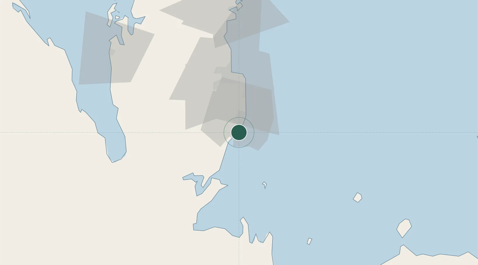
Nearby Logistics Neighbours

Cities
  1. 1Umm Sa'id (Mesaieed)4 km
  2. 2Qchem8 km
  3. 3BGN/PCGN1956 - HAMAD30 km
  4. 4Doha33 km
  5. 5Umm Qarn70 km
Nearest neighbours — logibook spatial index (haversine) over the source coordinates
Ports
  1. 1Umm Said0 km
  2. 2Doha41 km
  3. 3Ras Laffan111 km
  4. 4Jazirat Halul121 km
  5. 5Jazirat Das134 km
Nearest neighbours — logibook spatial index (haversine) over the source coordinates
Airports
  1. 1Al Udeid Air Base34 km
  2. 2Doha International Airport38 km
  3. 3Hamad International Airport40 km
  4. 4Batha Airport79 km
  5. 5Delma Airport90 km
Nearest neighbours — logibook spatial index (haversine) over the source coordinates
Trade Zones
  1. 1Umm Alhoul - Port Free Zone22 km
  2. 2Ras Bufontas - Airport Free Zone35 km
  3. 3Qatar Media City41 km
  4. 4Qatar Financial Centre46 km
  5. 5Qatar Science and Technology Park47 km
Nearest neighbours — logibook spatial index (haversine) over the source coordinates
DatabookThe Record of Consolidated Knowledge
Qatar beyond logistics?
Browse databook

All Sources

LocationsUN/LOCODE
UN/LOCODE — free
Portsthe NGA World Port Index
Public domain (US gov)
AirportsOurAirports
Public domain
Trade Zonesthe World Bank SEZ database
CC BY 4.0
Trade ZonesOpen Zone Map
CC BY
← Qatar locations